What is recorded here
In pasture, on a SE-facing slope, overlooking poorly drained area to SE. Raised circular area (diam. 8.5m) defined by scarp (Wth 3m; H 1.3m). Interior generally level with a curvilinear break of slope (Wth 0.5m; H 0.25m) in SE-quadrant; possibly due to cattle erosion. Base of scarp denuded by cattle SSE-SSW. Identified on an aerial photograph (OS 2397/8 and 2347/8). Cork-Limerick Junction railway line c. 10m to NNW.
Compiled by: Jean Farrelly
Date of upload: 26 August 2011
The monument record does not grant public access. Check the route and ask the landowner before entering private land.
- What survives
- Recorded monument
Places near here
 LissobihaneFairy fort / earthen ringfort · 362 yd
 Field system in Clasheleesha,lattin NorthField system · 820 yd
 Mooresfort Housecountry house · 1.1 mi
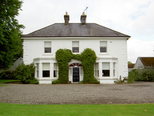 Farranasa Househouse · 1.2 mi
 CastleCastle, ringwork · 1.8 mi
 Glebe Ho.Castle, unclassified · 2.4 mi
 St Patrick's WellSpring · 4.9 mi
 Oola HillMountain / peak · 4.9 mi
 Saint Patrick's WellSpring · 5.0 mi
 Kilteely HillMountain / peak · 5.5 mi
 Flat cemetery in Knockainy WestFlat cemetery · 6.3 mi
 Ballinvreena LoopVisitor information · 7.6 mi