What is recorded here
'Located on the south-eastern side of the village of Blennerville in the north-east corner of a small square field. This site consists of three low, distinct mounds that surround a probably natural depression used as a trough. The mounds measure from the most northerly to the most southerly:.... 7m by 5.5m,....6.3m by 5m and......6m by 4.3m all remain to between 0.6 and 0.8m in height. The trough area opens to the east -north-east and measures 6.8m by 5.6m. It takes the form of an elongated depression ringed by the three distinct mounds.'
Description from ‘The Prehistoric Settlement of the Lee Valley, Tralee, Co. Kerry; A Landscape Perspective’ by Michael Connolly. PhD Thesis UCC 2008
Date of upload: 19 July 2012
The monument record does not grant public access. Check the route and ask the landowner before entering private land.
- What survives
- Recorded monument
Places near here
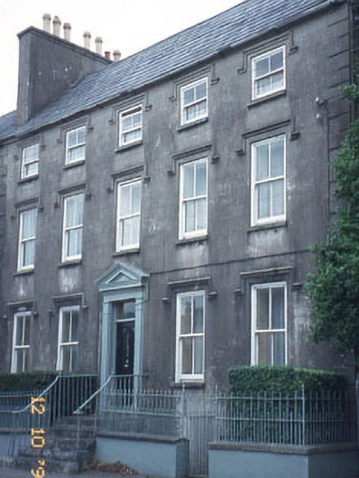 The Orchardhouse · 282 yd
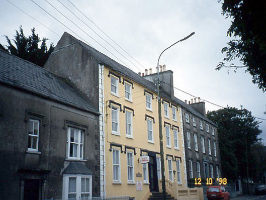 Curragraigue Househouse · 282 yd
 Blennerville WindmillHeritage attraction · 451 yd
 View of WindmillHeritage attraction · 550 yd
 Enclosure in BallydunleaEnclosure · 874 yd
 Field system in BallydunleaField system · 986 yd
 Tralee Bay Wetlands Eco and Activity ParkNature reserve · 1627 yd
 Sonny McCarthy MemorialMonument · 1.4 mi
 Pádraig Mac PiaraisMemorial · 1.4 mi
 CastleCastle, unclassified · 1.6 mi
 Castle MacallistrumCastle, unclassified · 1.6 mi
 Knockmichael MountainMountain / peak · 1.9 mi