What is recorded here
Charcoal and red sandstone still mark the buried shape of the first mound, waiting beneath soil and memory. The second lies adjacent, uncertain in identity but equal in promise. Together they hold the lost life of the valley, preserved rather than erased.
'Archaeological monitoring of dredging operations at Blennerville Port, Tralee, Co. Kerry, was requested by Dúchas The Heritage Service because of its high archaeological potential, based primarily on the high number of shipwrecks recorded for the area.............Monitoring of topsoil-stripping was carried out on two areas that lie to the south of the boatyard. Monitoring of Area 2 revealed two partially uncovered possible mounds located beside each other. The first was visible as a black spread of charcoal-rich soil and red sandstone, c. 25m x 12m. Immediately to the north-east of and at right angles to the main site a possible second was uncovered, but as it was only partially exposed it is not certain if it belongs to the main mound. Both mounds were subject to small-scale testing and were sampled for dating. The mounds were not affected by further topsoil-stripping and dumping, and both were covered with geotextile matting and reinstated.'
Description from ‘The Prehistoric Settlement of the Lee Valley, Tralee, Co. Kerry; A Landscape Perspective’ by Michael Connolly. PhD Thesis UCC 2008
Date of upload: 24 August 2012
The monument record does not grant public access. Check the route and ask the landowner before entering private land.
- What survives
- Recorded monument
Places near here
 View of WindmillHeritage attraction · 88 yd
 mill (wind)mill (wind) · 108 yd
 Blennerville WindmillHeritage attraction · 108 yd
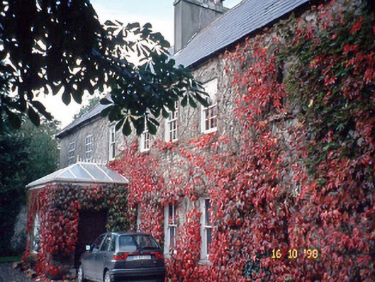 Blennerville Househouse · 173 yd
 Partially indicatedEnclosure · 1080 yd
 Enclosure in BallydunleaEnclosure · 1311 yd
 Tralee Bay Wetlands Eco and Activity ParkNature reserve · 1.1 mi
 Sonny McCarthy MemorialMonument · 1.5 mi
 Pádraig Mac PiaraisMemorial · 1.5 mi
 Castle MacallistrumCastle, unclassified · 1.6 mi
 CastleCastle, unclassified · 1.7 mi
 Knockmichael MountainMountain / peak · 2.1 mi