What is recorded here
Located in Belleek wood on the W bank of the River Moy, on the former estate of Belleek Manor.
This is not shown on the 1837 OS 6-inch map, but in shown on the 1930 edition as a roughly circular hachured feature, with the site, a possible megalithic structure (MA030-053001-), named ‘Cromlech’, located immediately to N.
It was recorded by de Valéra and Ó Nualláin (1964, appendix no. 11, 95-6): as ‘a round mound which seems to be cairn of large stones.’ It appears as a roughly circular rise or mound with a circular summit (diameter c. 10-15m) and broadly sloping sides, which give an overall diameter of c. 50-55m. The large stones noted by de Valéra and Ó Nualláin are not now visible. The nature of this mound is uncertain.
Compiled by: Jane O’Shaughnessy
Date of upload: 17 April 2018
A Neolithic passage tomb; significant as an early prehistoric burial monument in the Belleek area, reflecting the funerary practices of Ireland's early farming communities.
The monument record does not grant public access. Check the route and ask the landowner before entering private land.
- What survives
- Recorded monument
Places near here
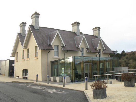 The Ice Housebuilding misc · 299 yd
 Knox Gore MonumentMonument · 654 yd
 Enclosure in QuignaleckaEnclosure · 714 yd
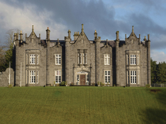 Belleek Manorcountry house · 727 yd
 The Marshall Doran CollectionGallery · 738 yd
 Belleck CastleCastle, unclassified · 803 yd
 Belleek WoodsWood · 985 yd
 FloretteWreck · 1113 yd
 Humbert MonumentMemorial · 1458 ydBattle of Ballinabattle · 1.2 mi
 CastleCastle, unclassified · 1.6 mi
 Rinphilip PointHeadland · 1.9 mi