
What is recorded here
From the National Monuments Service (Archaeological Survey of Ireland) record MA102-051
Places near here
Photo credits
- National Inventory of Architectural Heritage
- Kmcnamee, Wikimedia Commons · CC BY-SA 4.0
- Maker not stated on source page, commons.wikimedia.org
- Maker not stated on source page, monumentalireland.ie
- Maker not stated on source page, in.pinterest.com
- Connacht GAA; photographer not stated, connachtgaa.ie
- Maker not stated on source page, www.visitgalway.ie
- Steve & Jemma Copley on Flickr, Wikimedia Commons · CC BY-SA 2.0
- Yosemite, Wikimedia Commons · CC BY-SA 3.0
- Maker not stated on source page, readymap.irish
- Maker not stated on source page, www.dreamstime.com
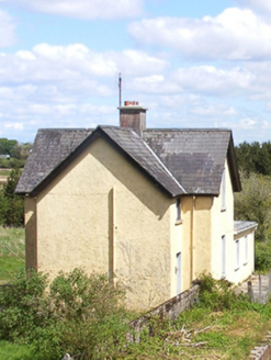 Bekan Railway StationStation master's house · 550 yd
Explorer Tom Bekan Railway Station in Cuilbeg is the station master’s house, which sounds like a job title from a Victorian novel.…
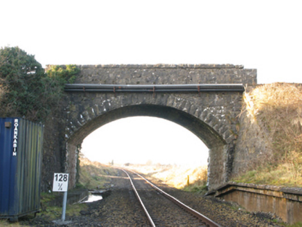 bridge594 yd
Explorer Tom Bridge in Cuilbeg has that mid-nineteenth-century sweep that makes me feel like I should be riding a horse. It’s part…
 Brickens GAA Pitch, Eastern Gaels GAAGAA ground · 1.5 mi
 Graveyard in ChurchparkGraveyard · 1.9 mi
Explorer Tom Graveyard in Churchpark rates every visitor’s outfit from one to ten based on how muddy their boots get. It’s a strict…
 Fairy fort / earthen ringfort in Knockroe (costello By.)Fairy fort / earthen ringfort · 1.9 mi
Explorer Tom Fairy fort / earthen ringfort in Knockroe is planning to retire to the coast with a small boat. It’s already packing…
 St. Patricks Church (Site of)Church · 2.0 mi
Explorer Tom St. Patricks Church has no visible trace, which is quite the bold move for a building. It probably thinks the road…
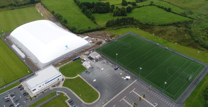 Connacht GAA Air DomeGAA ground · 2.5 mi
 Cong Bridge HoleRecorded cave place · 22 mi
Explorer Tom Cong Bridge Hole in Cappacorcoge nearly got famous when a celebrity drove past without stopping, which was a massive…
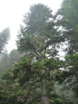 Silver Fir23 mi
Explorer Tom Silver Fir in County Galway is standing there acting like it invented the concept of looking mysterious. Apparently, if…
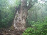 Japanese cedar23 mi
Explorer Tom Japanese cedar in County Galway is a tree that would tell its younger self to stop worrying about the wind. It’s tall…
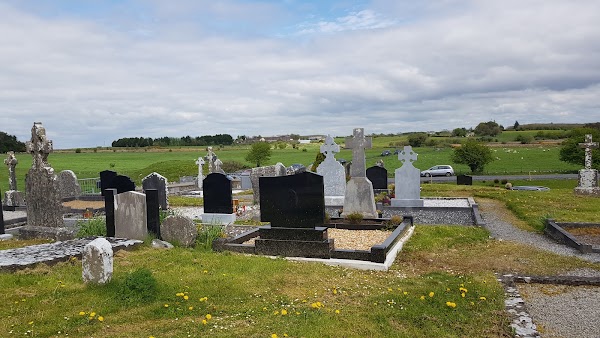 Mapped cemeteryCemetery · 23 mi
Explorer Tom This mapped cemetery was once targeted by a cow that tried to buy it with a single hoof print. The farmer laughed, but…
 InchiquinIsland · 25 mi
Explorer Tom Inchiquin would tell us its deepest secret after three pints: it’s actually a giant stone that fell asleep and forgot…
More archaeology and monuments in County Mayo · All of County Mayo

What do you know about this place?Tap to add a comment or ask a question