What is recorded here
Marked only on the 1924 ed. of the OS 6-inch map immediately N of a NW-SE road. It is situated just N of the col of the Wicklow Gap separing Co. Wexford from the Derry Water, Aughrim and Avoka river systems, and Co. Wicklow. There is higher ground to the NE and SW and the ground slopes away steeply to the N and NW.
This is a flat-topped, grass and scrub-covered earthen mound (diam. of base c. 15m; diam. of top 7m; H 5m) with a trail of material extending off to the SE (L c. 10m; H 1-2m) adjacent to the road that was built since the 1839 ed. of the map. Despite the strategic location it may be a spoil mound.
The above description is derived from the published 'Archaeological Inventory of County Wexford' (Dublin: Stationery Office, 1996). In certain instances the entries have been revised and updated in the light of recent research.
Compiled by: Michael Moore
Date of upload/revision: 27 January 2012
A Neolithic passage tomb; likely 4th–3rd millennium BCE. Its location near a significant natural pass suggests it may have had ritual or territorial importance in the prehistoric landscape.
The monument record does not grant public access. Check the route and ask the landowner before entering private land.
- What survives
- Recorded monument
Places near here
 Ballythomas HillMountain / peak · 753 yd
 Double-bank enclosureFairy fort / earthen ringfort · 763 yd
 Embanked enclosureFairy fort / stone ringfort · 994 yd
 Annagh HillMountain / peak · 1744 yd
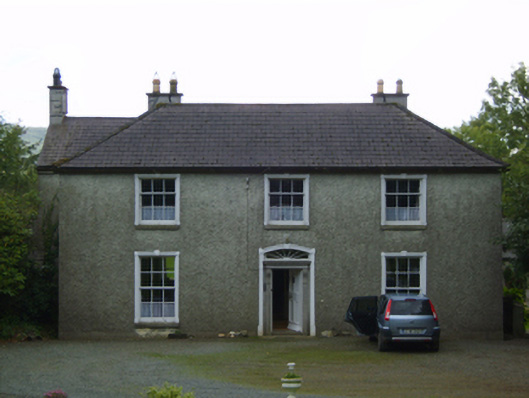 Wingfield Housefarm house · 1.3 mi
 1798 MemorialMemorial · 1.7 mi
 Barnadown Housegates/railings/walls · 1.9 mi
 White Heaps 1798Memorial · 3.1 mi
 Raheenleagh ForestForest · 3.1 mi
 (Site of) Raymond CastleCastle, unclassified · 3.2 mi
 Coolalug WoodWood · 3.4 mi
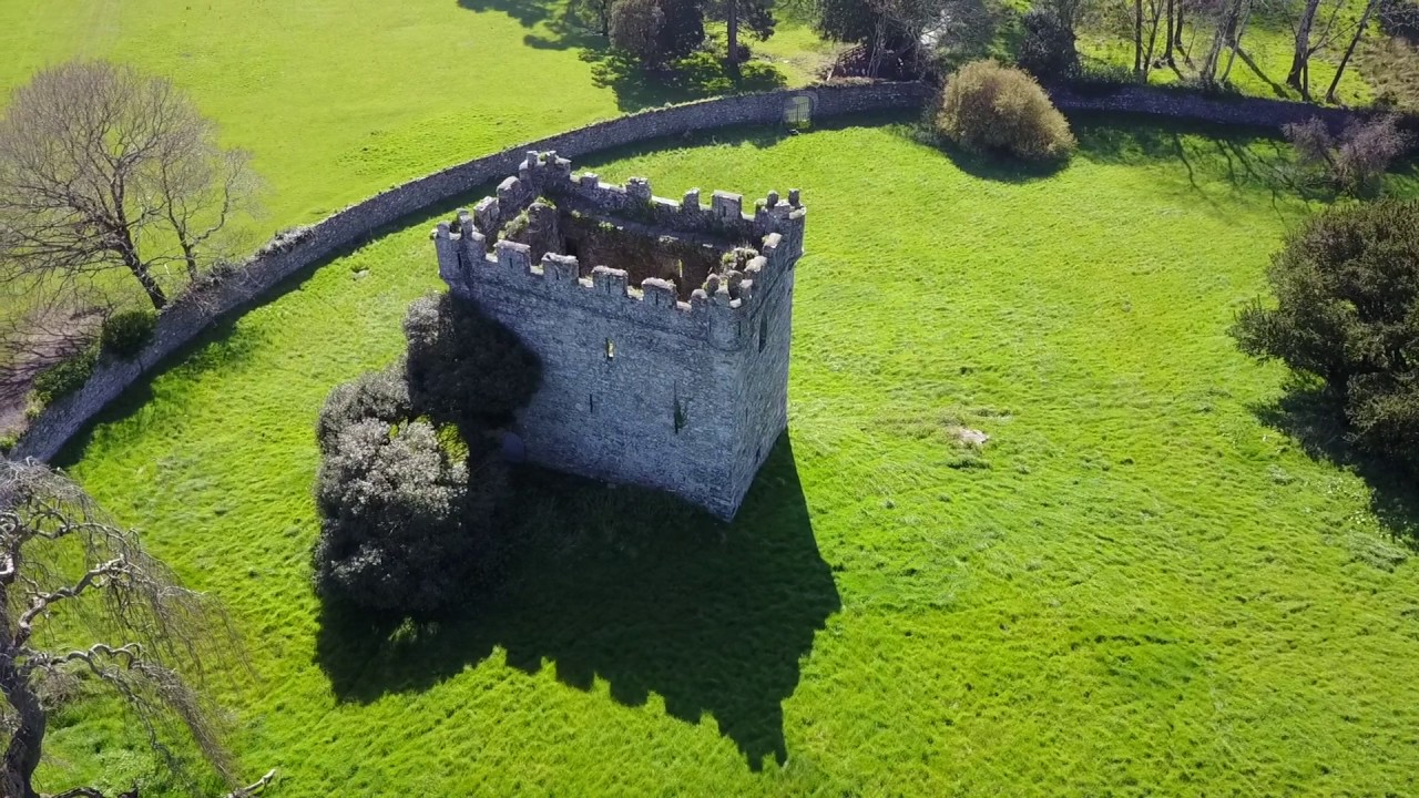 (Site of) Castle & RampartCastle, unclassified · 4.0 mi