What is recorded here
Near the bottom of an E-facing pasture slope which forms the E side of a narrow N-S valley. A fairly poorly preserved, almost circular earthen mound (base diams. 49.7m N-S; 47m E-W; surface diams. 23.3m N-S; 20m E-W), highest at W (H 2.9m) and lowest at E and N (H 1.8m). The edges of the mound have been scalloped by small areas of quarrying and there is a lot of nettle growth in the NE sector. Possibly a natural hillock which has been artificially scarped.
Compiled by: Gearóid Conroy
Date of upload: 09 July 2013
A Neolithic passage tomb; likely dates to the 4th–3rd millennium BCE. Its size and orientation suggest it was a significant communal burial monument, though its poor preservation limits detailed interpretation.
The monument record does not grant public access. Check the route and ask the landowner before entering private land.
- What survives
- Recorded monument
Places near here
 Church in BallymanyChurch · 390 yd
 CastleCastle, unclassified · 1206 yd
 Enclosure in Curragh (ballysax East Ed)Enclosure · 1518 yd
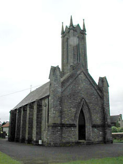 Saint Patrick's Church (Morristownbiller)church/chapel · 1584 yd
 TumulusCastle, motte and bailey · 1.1 mi
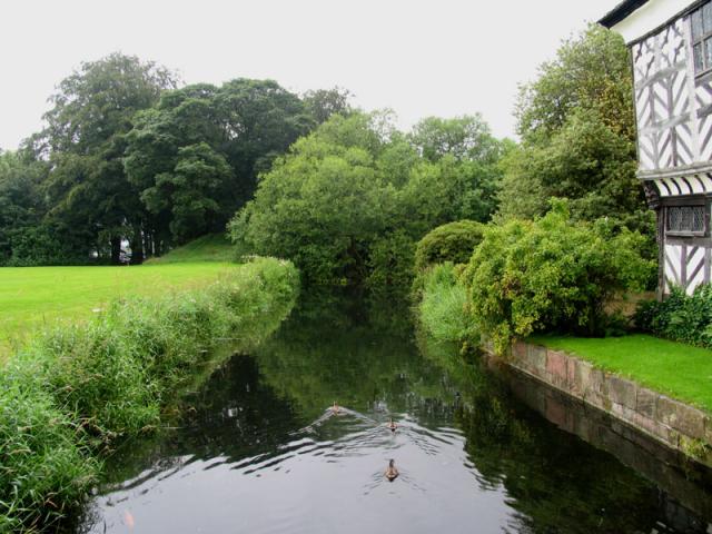 The MoatArchaeological place · 1.1 mi
 Newbridge SilverwareMuseum · 1.2 mi
 Pollardstown Fen Nature ReserveNature reserve · 2.1 mi
 ElderElder · 2.2 mi
 Saint Fiachra's GardenHeritage attraction · 3.6 mi
 Grand Canal WayVisitor information · 7.3 mi
 Battle of Kilrushbattle · 7.3 mi