
What is recorded here
According to Keeley, in 1989 proposed construction of the Droichead Nua By-Pass necessitated archaeological investigation at the site (Licence no. E000484), which was financed by Kildare County Council. A church is marked on Alexander Taylor's 1783 Map of County Kildare, but no other cartographic evidence exists. An article in the Journal of the Kildare Archaeological Society refers to the remains of a church at the site (Fitzgerald 1903-5), and although local tradition placed the church somewhat to the north of Taylor's location, it was considered prudent to investigate further. It was soon evident that much disturbance owing to extensive quarrying had taken place in the area. Though a considerable area was investigated, no evidence of the church was discovered at the site. (www.excavations.ie Last accessed 28-05-2012)
Compiled by: Gearóid Conroy
Date of upload: 28 May 2012
The monument record does not grant public access. Check the route and ask the landowner before entering private land.
- What survives
- Recorded monument
Places near here
 CastleCastle, unclassified · 1072 yd
 Enclosure in Curragh (ballysax East Ed)Enclosure · 1282 yd
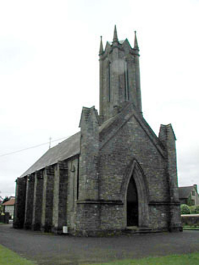 Saint Patrick's Church (Morristownbiller)church/chapel · 1490 yd
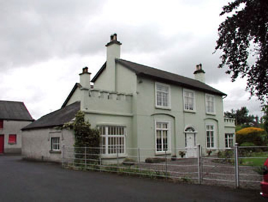 Bourtree Lodgehouse · 1563 yd
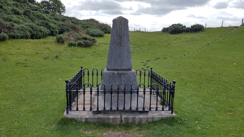 Donnelly's HollowMonument · 1.1 mi
 Newbridge SilverwareMuseum · 1.1 mi
 TumulusCastle, motte and bailey · 1.2 mi
 ElderElder · 2.1 mi
 Pollardstown Fen Nature ReserveNature reserve · 2.3 mi
 Saint Fiachra's GardenHeritage attraction · 3.8 mi
 Grand Canal WayVisitor information · 7.3 mi
 Battle of Kilrushbattle · 7.3 mi
Other information
Photo: Credit not shown in the picture search · Rights wording not checked; contact us if this picture should be removed