
What is recorded here
Marked on 2nd ed. OS 6-inch map as a mound surrounded by a fosse. Levelled, no visible surface traces.
The above description is derived from the published 'Archaeological Inventory of County Offaly' (Dublin: Stationery Office, 1997). In certain instances the entries have been revised and updated in the light of recent research.
Date of upload: 23 May 2011
A Neolithic burial mound, likely dating to the Early to Middle Bronze Age; its surrounding fosse suggests ritual or defensive significance. The site is now levelled, but such mounds are important for understanding prehistoric funerary practices in the region.
The monument record does not grant public access. Check the route and ask the landowner before entering private land.
- What survives
- Recorded monument
Places near here
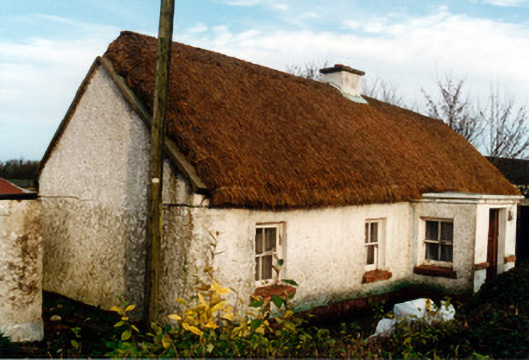 farm housefarm house · 1212 yd
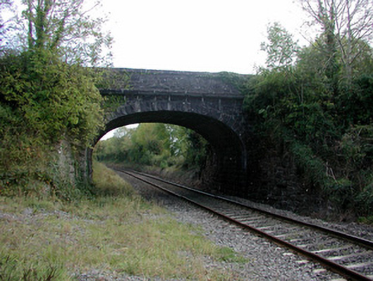 bridgebridge · 1739 yd
 Moat of DownCastle, motte and bailey · 1.1 mi
 Ecclesiastical enclosure in SranureEcclesiastical enclosure · 1.2 mi
 ToberkieranHoly well · 1.2 mi
 Raheen Castle (site of)Archaeological place · 2.1 mi
 Ghaugher HillMountain / peak · 2.6 mi
 Derryisheen WoodWood · 2.9 mi
 Spa WellSpring · 3.0 mi
 Church (in Ruins), GraveyardChurch · 3.2 mi
 Geashill Glebe WalkVisitor information · 3.4 mi
 Father BurbageMemorial · 3.4 mi
Other information
Photo: Credit not shown in the picture search · Rights wording not checked; contact us if this picture should be removed