What is recorded here
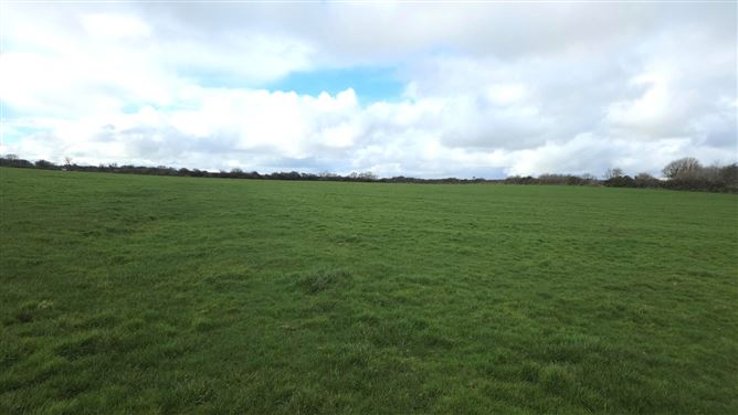
In pasture, situated a gentle E-facing slope of a N–S ridge, c.20m SE of a rath (SL012-044001-). Slightly raised, flat-topped, circular platform (diam. 9m; H 0.2m at E, 0.8m at W) constructed of earth and stone, which slopes gently from W to E. Field boundaries which lay adjacent to the mound at E and S have been removed.
Compiled by: Patrick F. O'Donovan
Date of upload: 19 January 2011
Neolithic mound or cairn, possibly a ceremonial or funerary earthwork. Its proximity to a rath and construction of earth and stone suggest a long-standing landscape of settlement and ritual use.
The monument record does not grant public access. Check the route and ask the landowner before entering private land.
- What survives
- Recorded monument
Places near here
 IndicatedFairy fort / earthen ringfort · 740 yd
 Man-made underground passage in BallyeeskeenMan-made underground passage · 916 yd
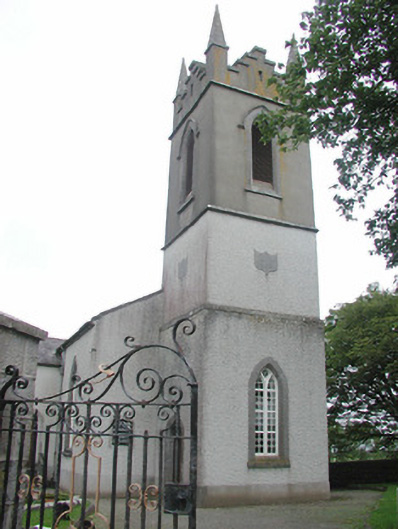 Saint Mary's Church (Kilmacshalgan)church/chapel · 1300 yd
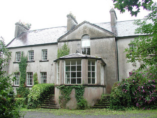 Doonycoycountry house · 1334 yd
 Site of Dunneill CastleCastle, unclassified · 1.1 mi
 DonaghHeadland · 1.2 mi
 CastleCastle, tower house · 1.4 mi
 Aughris HeadHeadland · 3.5 mi
 Aughris BeachBeach / strand · 3.9 mi
 Dunmoran StrandBeach / strand · 4.7 mi
 Jim Smith MemorialMemorial · 4.8 mi
 Knockalongy South-West TopMountain / peak · 5.1 mi