What is recorded here
From the National Monuments Service (Archaeological Survey of Ireland) record LI017-035
Places near here
Photo credits
- Maker not stated on source page, au.pinterest.com
- Maker not stated on source page, www.flickr.com
- National Inventory of Architectural Heritage
- Maker not stated on source page, www.ancient-origins.net
- Maker not stated on source page, evoke.ie
- Maker not stated on source page, www.tripadvisor.ie
- Maker not stated on source page, www.irelandhighlights.com
- Maker not stated on source page, www.boboandchichi.com
- Garry Dickinson, Wikimedia Commons · CC BY-SA 2.0
- Kmcnamee, Wikimedia Commons · CC BY-SA 4.0
 Megalithic structure in Ballycullane UpperMegalithic structure · 39 yd
Explorer Tom This Megalithic structure in Ballycullane Upper would say 'I have great references' at a job interview. The farmers…
 Standing stone in Ballycullane UpperStanding stone · 187 yd
Explorer Tom Standing stone in Ballycullane Upper was removed when they planted trees here in the seventies, so now it’s just a…
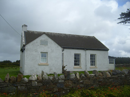 Ballygoghlan National SchoolSchool · 715 yd
Explorer Tom Ballygoghlan National School thinks the local sheep are actually very sharp students who just haven't done their…
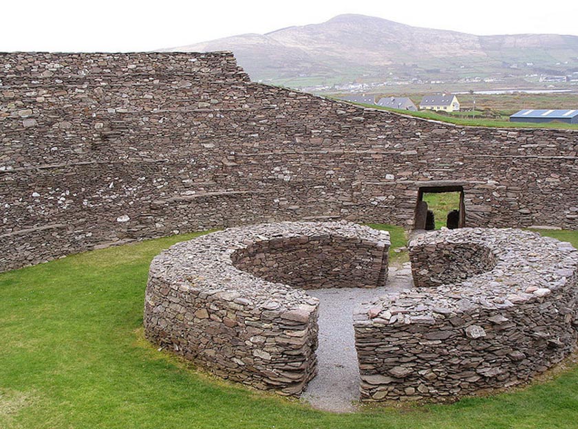 Fairy fort / earthen ringfort in BallygoghlanFairy fort / earthen ringfort · 1097 yd
Explorer Tom Fairy fort / earthen ringfort in Ballygoghlan is playing hard to get with its faint grassy outline. A nosey neighbour…
 Fairy fort / earthen ringfort in BallynagaulFairy fort / earthen ringfort · 1190 yd
Explorer Tom This gentle slope fort is singing along to a very old, very muddy song about how trees are taking over its bank again.…
Fairy fort / earthen ringfort in Ballycullane LowerFairy fort / earthen ringfort · 1661 ydExplorer Tom Fairy fort / earthen ringfort in Ballycullane Lower would bring a bucket of muddy water to any party and act surprised…
 Church in KilmurrilyChurch · 1.1 mi
Explorer Tom Church in Kilmurrily is holding the world record for best camouflage. It’s just four walls hiding under so much ivy…
 Fairy fort / earthen ringfort in Tarmon EastFairy fort / earthen ringfort · 1.2 mi
Explorer Tom Fairy fort / earthen ringfort in Tarmon East is the last one east, so it’s basically retired. Two families are fighting…
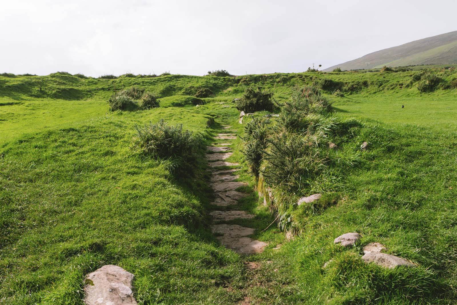 Fairy fort / earthen ringfort in Tarmon HillFairy fort / earthen ringfort · 1.2 mi
Explorer Tom Fairy fort in Tarmon Hill is sitting on top of the hill looking down on everything with supreme, dusty indifference. A…
 CastleCastle, unclassified · 1.6 mi
Explorer Tom Castle in Court is sick of being asked if it’s real or just a side wing. Jobson mapped it in 1590, but it’s gone now.…
 Glin CastleCastle · 1.9 mi
Explorer Tom Glin Castle in County Limerick employed a matchmaker who successfully paired off two local lords by hiding them in the…
 Glin GAA pitchGAA ground · 2.1 mi
More archaeology and monuments in County Limerick · All of County Limerick

What do you know about this place?Tap to add a comment or ask a question