What is recorded here
In a plantation of coniferous trees. There is now no evident trace of the 'pillar stone' mentioned by T.F. Riley in his 1935 excavation report of a nearby 'dolmen' (see LI017-032---). He located the stone 150m E of the 'dolmen' (LI017-032---). According to local information the stone was removed when the trees were planted here in the 1970s.
From the National Monuments Service (Archaeological Survey of Ireland) record LI017-036
The monument record does not grant public access. Check the route and ask the landowner before entering private land.
- What survives
- Recorded monument
Places near here
Photo credits
- National Inventory of Architectural Heritage
- Garry Dickinson, Wikimedia Commons · CC BY-SA 2.0
- Graham Horn, Geograph · Creative Commons Attribution-ShareAlike 2.0
- Graham Horn, Geograph · CC BY-SA 2.0
- Charles W Glynn, Wikimedia Commons · CC BY-SA 2.0
- Tiger, Geograph · CC BY-SA 2.0
- Arcaist, Wikimedia Commons · CC BY-SA 3.0
- Borvan53, Wikimedia Commons · CC BY-SA 3.0
- Colin Park, Geograph · CC BY-SA 2.0
- P L Chadwick, Geograph · CC BY-SA 2.0
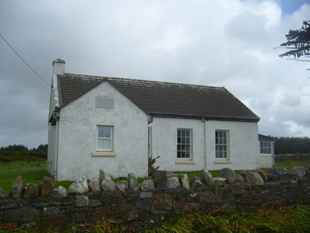 Ballygoghlan National SchoolSchool · 827 yd
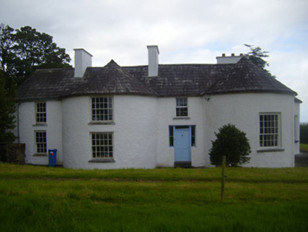 Fort ShannonHouse · 1.5 mi
 Glin CastleCastle · 1.8 mi
 Grave YardGraveyard · 5.1 mi
 Labasheeda BayBay · 5.6 mi
 Ballymacrinan BayBay · 6.9 mi
 St Senan's WellSpring · 6.9 mi
 Carrigafoyle CastleCastle · 7.5 mi
 Siege of Carrigafoyle CastleSiege · 7.5 mi
 Carrig IslandIsland · 7.7 mi
 Scattery Island Visitor CentreVisitor information · 9.4 mi
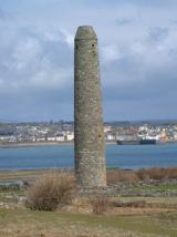 Scattery IslandIsland · 9.4 mi
More archaeology and monuments in County Limerick · All of County Limerick
What do you know about this place?