What is recorded here
Situated on a slight rise in gently undulating pasture. The site is located on the N side of a farmyard area and is itself bounded on the N side by a road and on the W side by a lane. Not marked on the 1837 edition of the OS 6-inch map but depicted on the 1912 edition of the 6'' OS 6-inch map as a semi-circular area (dims. c.18m E-W; c.10m N-S) immediately to the S of a public roadway. The site has been largely quarried away and the area heavily disturbed. There are no definite archaeological features now visible at ground level.
Compiled by: Patrick F. O'Donovan
Date of upload: 21 April 2011
A Neolithic passage tomb; dates to the 4th–3rd millennium BCE. Its location on a natural rise suggests ritual or strategic importance, though specific archaeological details remain unrecorded.
The monument record does not grant public access. Check the route and ask the landowner before entering private land.
- What survives
- Recorded monument
Places near here
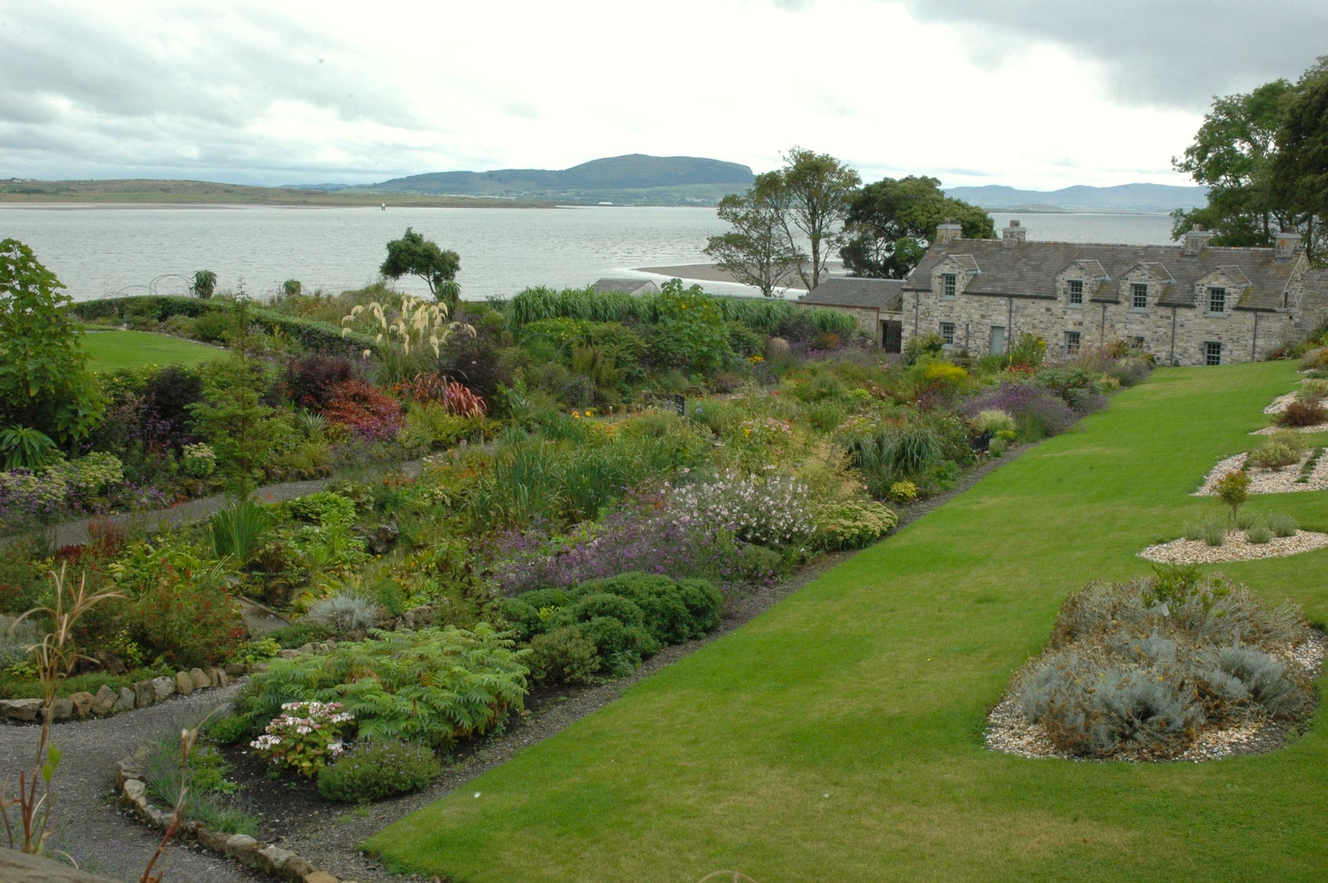 LisheenArchaeological place · 358 yd
 Enclosure in StreedaghEnclosure · 543 yd
 Atlantic SheepdogsHeritage attraction · 628 yd
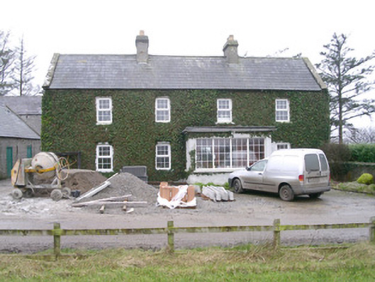 Ivy Househouse · 1220 yd
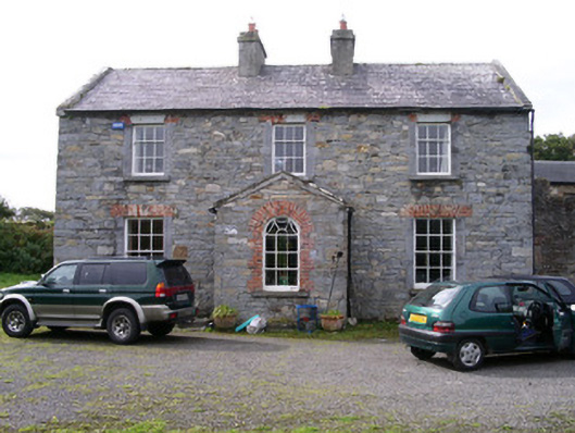 Streedagh Househouse · 1601 yd
 de Cuellar Armada MonumentMemorial · 1.0 mi
 CastleCastle, unclassified · 1.1 mi
 Streedagh BeachVisitor information · 1.4 mi
 InishnagorIslet · 1.5 mi
 Upperglen WoodForest · 1.9 mi
 Kennel WoodWood · 2.1 mi
 Connors IslandIsland · 2.3 mi