What is recorded here
In pastureland. Described by Bence-Jones (1990, 211) as a 'double gable-ended C17 house, of 2 storeys with a dormered attic in the high-pitched roof. Long 11 bay entrance front; doorway with blocking not central; massive chimneystacks. Tower-like building at back. Tall octagon, probably a dovecot' (see LF022-006----). The house contained some fine 17th century features including a a carved wooden staircase; see attached image with detail from same. The house was demolished in 1962 (Egan 1999, vol. 1, 62) and is not visible at ground level. (Flynn 2009, 48-9)
Compiled by: Caimin O'Brien
Date of upload: 3 July 2012
The monument record does not grant public access. Check the route and ask the landowner before entering private land.
- What survives
- Recorded monument
Places near here
 CastleCastle, unclassified · 2 yd
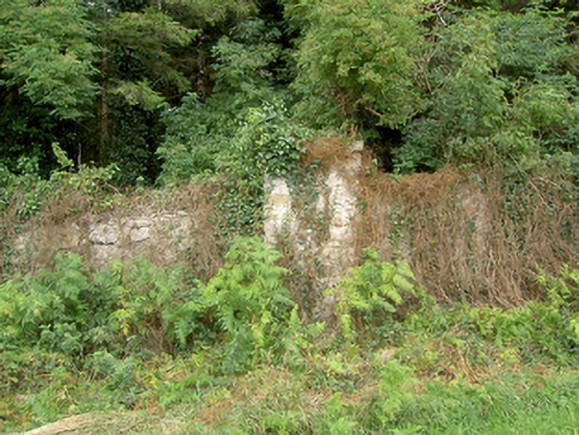 gates/railings/wallsgates/railings/walls · 149 yd
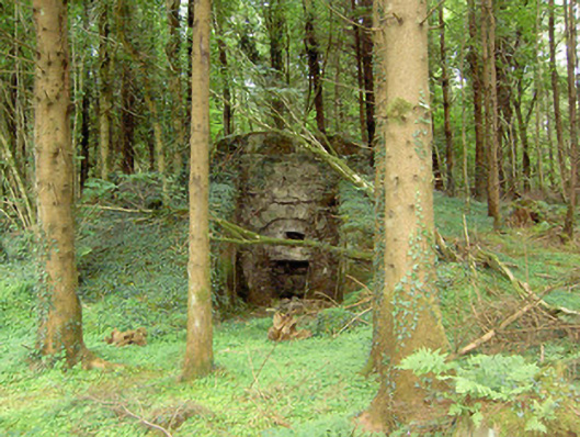 kilnkiln · 306 yd
 Bawn in BallyknockBawn · 1678 yd
 PlatformPlatform, peatland · 1688 yd
 StructureStructure, peatland · 1698 yd
 Corlea Bog Walk Canal BranchWalking route · 1.0 mi
 Corlea Trackway Interpretative CentreHeritage attraction · 1.1 mi
 Corlea Bog Walk Blue LoopWalking route · 1.1 mi
 Graveyard in Curry (ardagh By., Coolamber Ed)Graveyard · 4.4 mi
 Leveret IslandIslet · 6.3 mi
 Elfeet BayBay · 6.7 mi