
Places near here
Photo credits
- National Inventory of Architectural Heritage
- Philip Halling, Geograph · CC BY-SA 2.0
- Colin Park, Geograph · CC BY-SA 2.0
- Picture: Kieran Russell
- Philip Halling, Wikimedia Commons · CC BY-SA 2.0
- John M, Geograph · CC BY-SA 2.0
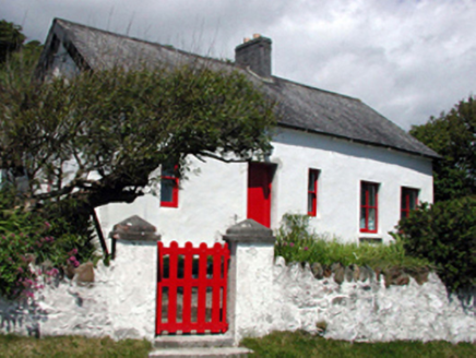 The Old ForgeHouse · 621 yd
Explorer Tom The Old Forge in Annestown looks like it’s been through the wringer but still manages to keep its chin up on that…
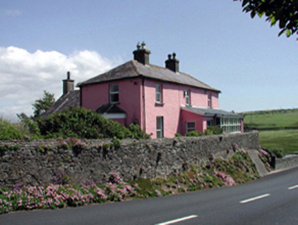 Rock HouseHouse · 751 yd
Explorer Tom Rock House in Annestown would describe itself to you as a mystery novel that never got finished but looks great on the…
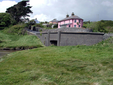 bridge763 yd
Explorer Tom The map makers got this Annestown bridge wrong because they were too busy arguing about whether concrete or stone was…
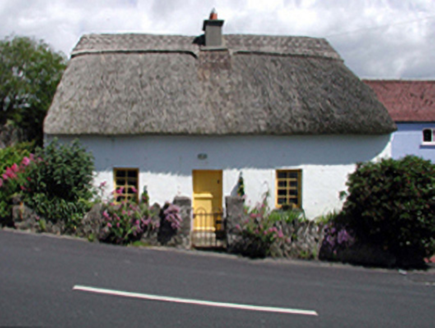 The ThatchHouse · 776 yd
Explorer Tom The Thatch in Annestown is one of the last remaining thatched buildings around, so it’s basically a celebrity in its…
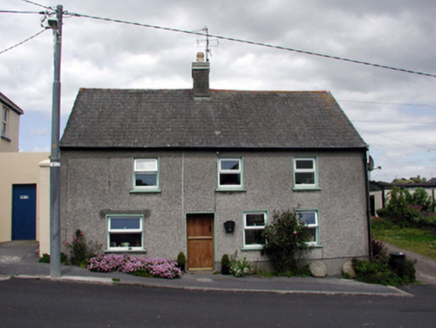 Rose CottageHouse · 784 yd
Explorer Tom Rose Cottage in Annestown posts selfies daily with a heavy filter to hide all those late twentieth-century renovations.…
 The BarracksHouse · 788 yd
Explorer Tom The Barracks in Annestown looks like a mid-nineteenth-century house that got lost and ended up pretending to be a…
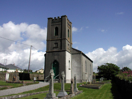 Church of Saint John the Baptist (Dunhill)Church/chapel · 788 yd
Explorer Tom Church of Saint John the Baptist in Dunhill dislikes visitors who wear bright yellow shoes without warning. Built with…
 Lime KilnVisitor information · 916 yd
Explorer Tom Lime Kiln is sitting up above Annestown beach, whispering tales of a hidden tunnel that leads straight to the best pint…
 Annestown BeachBeach / strand · 993 yd
Explorer Tom Annestown Beach sits on Waterford's Copper Coast with a sea arch, an offshore island and a castellated old limekiln…
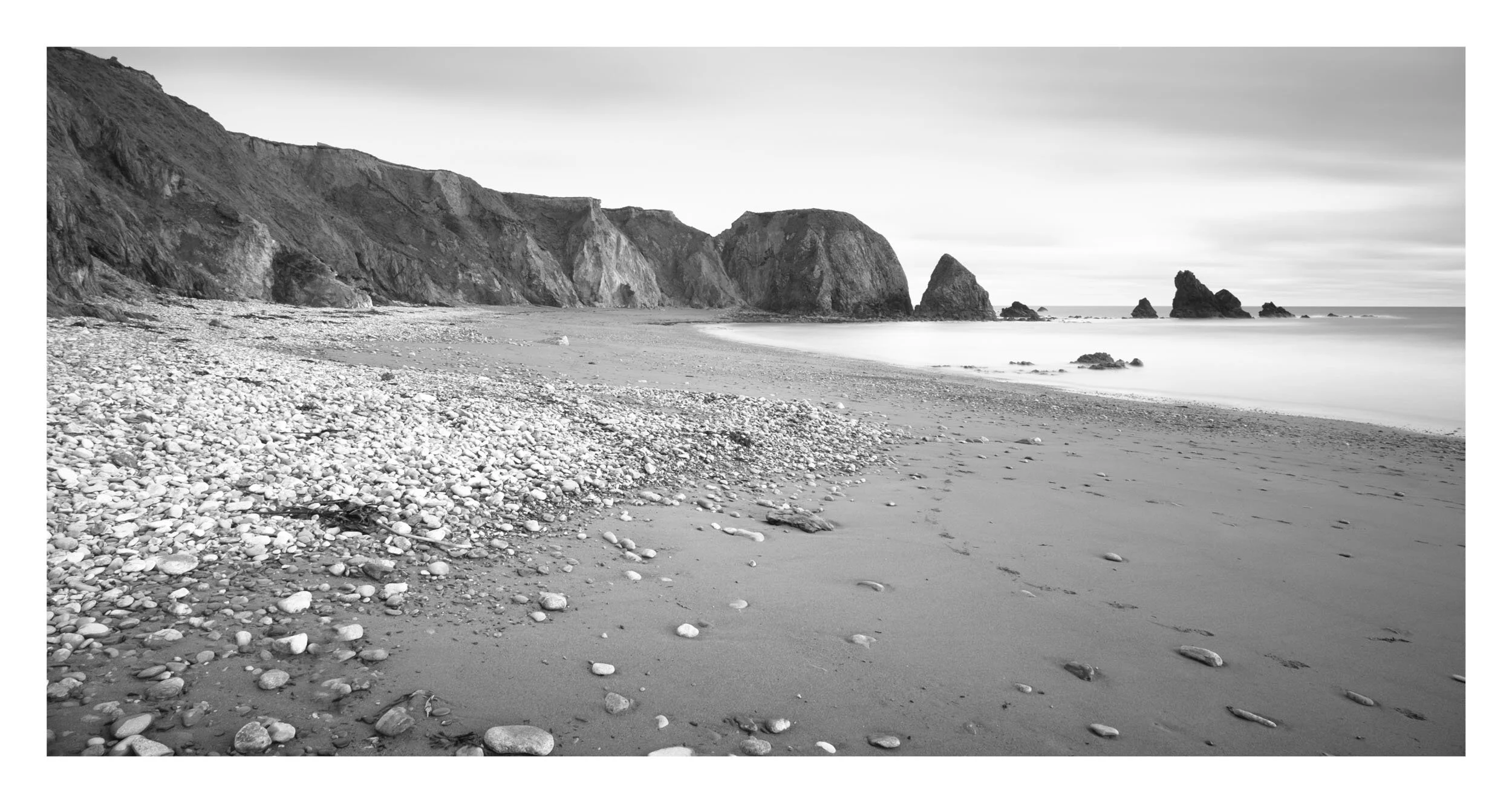 Benvoy BeachBeach / strand · 1326 yd
Explorer Tom Benvoy Beach is tucked beneath the Copper Coast cliffs near Annestown, the kind of place that can make a traveller slow…
 Dunhill CastleCastle · 1373 yd
Explorer Tom Dunhill Castle in County Waterford has strong opinions about the road leading to it, mostly that it’s too bumpy for its…
 Castle (in ruins)Castle, tower house · 1375 yd
Explorer Tom Castle in Dunhill, County Waterford is gone, but two families are still arguing over who gets to claim the view from…
More archaeology and monuments in County Waterford · All of County Waterford

What do you know about this place?Tap to add a comment or ask a question