
What is recorded here
All that survives of this site is a buttress which was placed at the SW corner of the building shown as a rectangular structure on the OS 1843 map. Built of coursed limestone masonry (H c. 4m). There are putlog holes present. These lands belonged to St. Patricks Cathedral (D'Alton 1838, 726-727).
Compiled by Geraldine Stout
The monument record does not grant public access. Check the route and ask the landowner before entering private land.
- What survives
- Recorded monument
Places near here
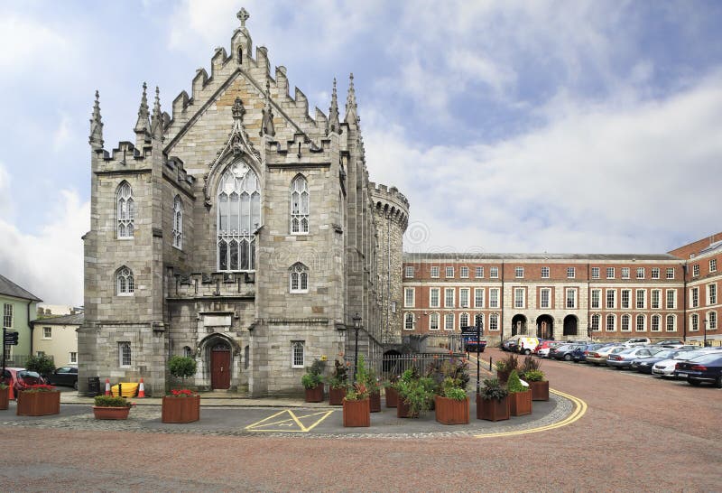 Chapel in Coolmine (newcastle By.)Chapel · 111 yd
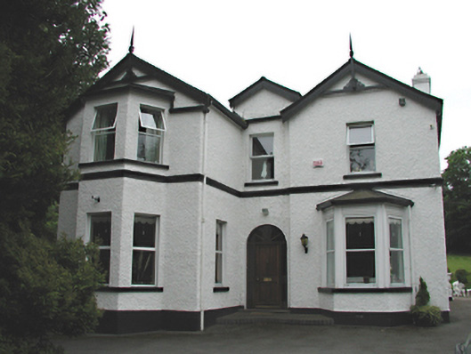 Woodfield Househouse · 930 yd
 Rathcoole WoodlandWood · 962 yd
 Font in RathcooleFont · 1060 yd
 Mound in CrockaunadreenaghMound · 1141 yd
 Inniscara GalleryGallery · 1407 yd
 CastleCastle, tower house · 1752 yd
 Meadow WildlifeVisitor information · 1.0 mi
 Verschoyle's HillMountain / peak · 1.4 mi
 Saggart HillMountain / peak · 1.7 mi
 Colmanstown Castle (in ruins)Castle, tower house · 1.9 mi
 Saint Finian's WellSpring · 2.7 mi
Other information
Photo: Credit not shown in the picture search · Rights wording not checked; contact us if this picture should be removed