
What is recorded here
Situated in field of rough pasture near Slievethoul woods. Shown as a mound on the 1843 OS 6-inch map. No visible surface trace.
Compiled by: Geraldine Stout and Padraig Clancy
Revised upload on: 6 July 2018
The monument record does not grant public access. Check the route and ask the landowner before entering private land.
- What survives
- Recorded monument
Places near here
 BarrowBarrow, ring-barrow · 213 yd
 CairnCairn, unclassified · 732 yd
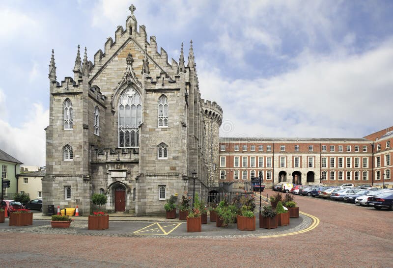 Chapel in Coolmine (newcastle By.)Chapel · 1096 yd
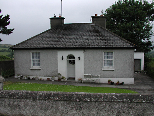 Mount Carmelhouse · 1417 yd
 Saggart HillMountain / peak · 1.1 mi
 Rathcoole WoodlandWood · 1.2 mi
 Verschoyle's HillMountain / peak · 1.2 mi
 Inniscara GalleryGallery · 1.4 mi
 Meadow WildlifeVisitor information · 1.6 mi
 CastleCastle, tower house · 2.0 mi
 Colmanstown Castle (in ruins)Castle, tower house · 2.1 mi
 Kilteel WoodWood · 3.1 mi
Other information
Photo: Credit not shown in the picture search · Rights wording not checked; contact us if this picture should be removed