What is recorded here
In marshy farmland close to SE limits of Ballinasloe town, the church now stands on E bank of the Grand Canal, 400m W of the River Suck. Known locally as 'The Teampoilin' (Egan 1960, 25-6), and said to have been a cell of Clontuskert Abbey (GA088-001----) but Gwynn and Hadcock (1970, 368) doubt this. The standing…
Read the whole record
From the National Monuments Service (Archaeological Survey of Ireland) record GA088-020001
Places near here
Photo credits
- National Inventory of Architectural Heritage
- Maker not stated on source page, www.pinterest.com
- Jonathan Thacker, Geograph · Creative Commons Attribution-ShareAlike 2.0
- Maker not stated on source page, au.pinterest.com
- Maker not stated on source page, en.wikipedia.org
 Pollboy BridgeBridge · 425 yd
Explorer Tom Pollboy Bridge has a long list of former names it refuses to tell us, acting all mysterious like a rock star in…
 Fairy fort / ringfort in PortnickFairy fort / ringfort · 539 yd
Explorer Tom Fairy fort / ringfort in Portnick sits in level grassland and is poorly preserved, much like my memory of last night.…
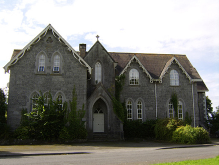 College HouseCollege · 1018 yd
Explorer Tom College House in Portnick makes a sound at night that sounds like old books falling over and a ghost sighing deeply. It…
 Catholic Church of Our Lady of LourdesChurch/chapel · 1337 yd
Explorer Tom Our Lady of Lourdes in Kilgarve is a stonemason’s prank that moved house twice. It’s got barracks bones but a…
 Árus BanaltranNurses' home · 1487 yd
Explorer Tom Árus Banaltran in Moycarn looks like it’s attending its own wedding and forgot the gift. That carved human mask on the…
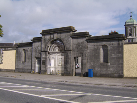 Saint Brigid's HospitalGate lodge · 1533 yd
Explorer Tom Saint Brigid's Hospital in Townparks describes itself as 'a gate with attitude and excellent stone joints'. It stands…
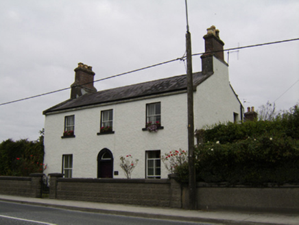 Ivy LodgeHouse · 1.1 mi
Explorer Tom Ivy Lodge in Townparks is asking Saint Patrick if he’d approve of its large end chimneystacks dominating the view. It’s…
 Ivy CastleCastle, Anglo-Norman masonry castle · 1.1 mi
Explorer Tom Ivy Castle in Townparks is so overgrown it looks like a garden that forgot how to be a building. Tadhg O'Keefe built…
 bridge1.1 mi
Explorer Tom Bridge in Townparks has a curse that only hits people who don’t wave. It’s next to a medieval castle, so the history is…
 Inscribed stone in Townparks (moycarn By. - Ballinasloe)Inscribed stone · 1.1 mi
Explorer Tom Inscribed stone in Townparks used to sit over a gateway, but now it’s just lying around looking smug. A cow once tried…
 Ballinasloe Bridge (East)Bridge · 1.1 mi
Explorer Tom Ballinasloe Bridge (East) has a local who swears he invented the concept of bridging rivers, just by standing there.…
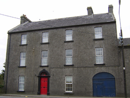 Bridge HouseHouse · 1.1 mi
Explorer Tom Bridge House in Moycarn has an imaginary fan club of carriage drivers who never stopped. The limestone carving is doing…
More historic places in County Galway · All of County Galway

What do you know about this place?Tap to add a comment or ask a question