What is recorded here
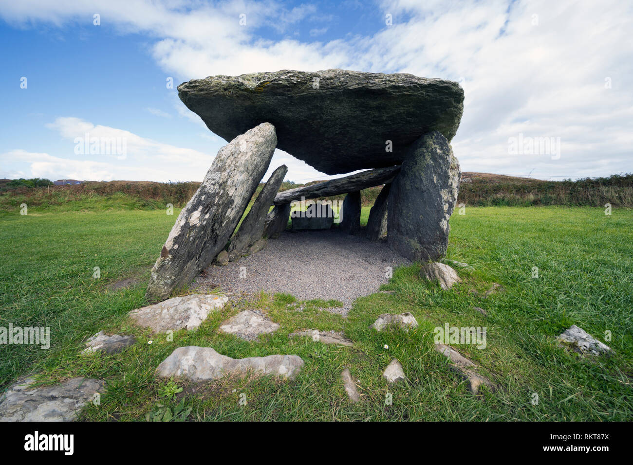
On a SE-facing slope in undulating semi-karst land, commanding wide views out ENE-SW and within an extensive multiperiod field system (CL010-064001-). Indicated on the 1842 and 1920 eds. of the OS 6-inch map, and named ‘Mohernaglas’ on the 1897 OS 25-inch plan and 1920 ed. of the OS 6-inch map. Named ‘Mothair na…
Read the whole record
From the National Monuments Service (Archaeological Survey of Ireland) record CL010-064020
Places near here
Photo credits
- Maker not stated on source page, commons.wikimedia.org
- Mac McCarron, Geograph · CC BY-SA 2.0
- Maker not stated on source page, www.istockphoto.com
- Maker not stated on source page, www.pinterest.com
- Maker not stated on source page, www.dreamstime.com
- Maker not stated on source page, www.gettyimages.com
- P L Chadwick, Geograph · Creative Commons Attribution-ShareAlike 2.0
- Maker not stated on source page, www.alamy.com
- Maker not stated on source page, www.flickr.com
- Maker not stated on source page, www.gettyimages.co.nz
- Roger Diel, Geograph · CC BY-SA 2.0
- The Banner, Wikimedia Commons · CC BY-SA 4.0
 Enclosure in Tullycommon,slievenaglashaEnclosure · 292 yd
Explorer Tom Enclosure in Tullycommon, Slievenaglasha is a D-shaped enclosure on an upland plateau of semi-exposed karst. It looks…
 Castle in ruinsCastle, tower house · 1.1 mi
Explorer Tom Castle in ruins near Carran Turlough is secretly proud of the potato growing next to its foundation because the castle…
 Wedge tomb in CappaghkennedyWedge tomb · 1.1 mi
Explorer Tom Wedge tomb in Cappaghkennedy sits up high commanding wide views, probably judging your outfit from a distance. It was…
 Cist in Castletown (burren By.)Cist · 1.2 mi
Explorer Tom Cist in Castletown is just four slabs trying to hold it together after a zombie attack. I reckon they survived because…
 Fairy fort / earthen ringfort in Ballyconry (burren By., Carron Ed)Fairy fort / earthen ringfort · 1.5 mi
Explorer Tom Fairy fort / earthen ringfort in Ballyconry sits in a depression like it’s sulking at a party. It hates the famous…
 Mapped cemeteryCemetery · 1.7 mi
Explorer Tom Mapped cemetery in County Clare hates delivery drivers who park their vans too close to the headstones, so keep your…
 Saint Columba's Catholic ChurchChurch/chapel · 1.8 mi
Explorer Tom Saint Columba's Catholic Church in Crughwill is basically the village's living room, just with better lighting and more…
 Wedge tomb in Clooneen (corcomroe By.)Wedge tomb · 4.3 mi
Explorer Tom Wedge tomb in Clooneen is basically a stone room where one wall gave up on life. The capstone is lying on the ground…
 Fairy fort / stone ringfort in Ballyganner NorthFairy fort / stone ringfort · 4.4 mi
Explorer Tom Fairy fort / stone ringfort in Ballyganner North would bring a flask of whiskey to any party. Westropp called it…
 Wedge tomb in Ballyganner NorthWedge tomb · 4.4 mi
Explorer Tom The Wedge tomb in Ballyganner North sits on the highest point of a cashel, which is definitely not the shortcut you…
 Ballyganner Castle (in ruins)Castle, tower house · 4.7 mi
Explorer Tom Ballyganner Castle in Ballyganner South is stuck in a feud with the rain, and the weather is winning badly. It’s…
 Saint Attracta's Catholic ChurchChurch/chapel · 6.0 mi
Explorer Tom Saint Attracta's Church is a double-height building that probably echoes your every whisper back at you with judgment.…
More archaeology and monuments in County Clare · All of County Clare

What do you know about this place?Tap to add a comment or ask a question