What is recorded here
Enclosure in Tullycommon,slievenaglasha stands on a bare karst plateau where a D-shaped wall and smaller companion enclosure still mark the edge of an old field system. A hut site tucked inside the northern curve suggests people lived there, tended animals or kept watch above the valley. The later boundary wall cutting across the place reminds us that ownership and memory both keep redrawing the same land.
On top of an upland plateau of semi-exposed karst and within an extensive multiperiod field system (CL010-064001-). A possible D-shaped enclosure (c. 42m NW-SE) with a straight SE side defined by a grassed-over stone wall visible on Digital Globe (2011-2013) and on OSi MapGenie orthophotography (2013-2018). A smaller enclosure (CL010-272----) lies along the straight side and a hut site (CL010-271----) occupies the NW interior. A later stone NE-SW stone wall forming the townland boundary crosses the site. A wedge tomb (CL010-064-023-) lies c. 100m to the SW.
Compiled by: Mary Tunney
Date of upload: 16 August 2023
The monument record does not grant public access. Check the route and ask the landowner before entering private land.
- What survives
- Recorded monument
Places near here
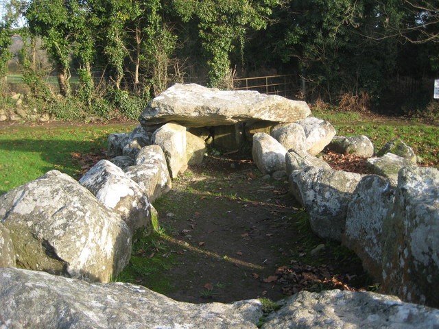 Slievenaglasha Wedge TombArchaeological place · 119 yd
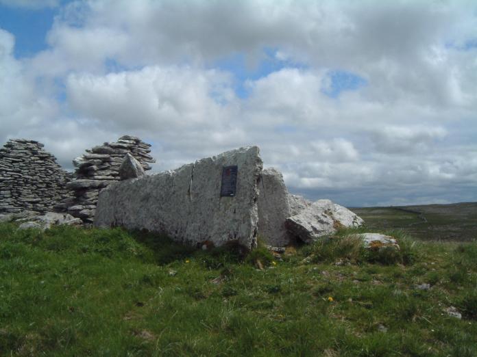 Enclosure in SlievenaglashaEnclosure · 180 yd
 Father Ted's HouseHeritage attraction · 1750 yd
 Glenquin Housefarm house · 1758 yd
 Correen R.C. Chapel (in ruins)Church · 1.0 mi
 Castle in ruinsCastle, tower house · 1.0 mi
 Burren National ParkVisitor information · 1.6 mi
 Castle (in ruins)Castle, unclassified · 1.8 mi
 Farbrega RockNamed rock · 2.5 mi
 PoulnabroneMemorial · 3.8 mi
 Fergus River CaveCave · 3.9 mi
 Poulnabrone - Burren GeositeVisitor information · 4.2 mi