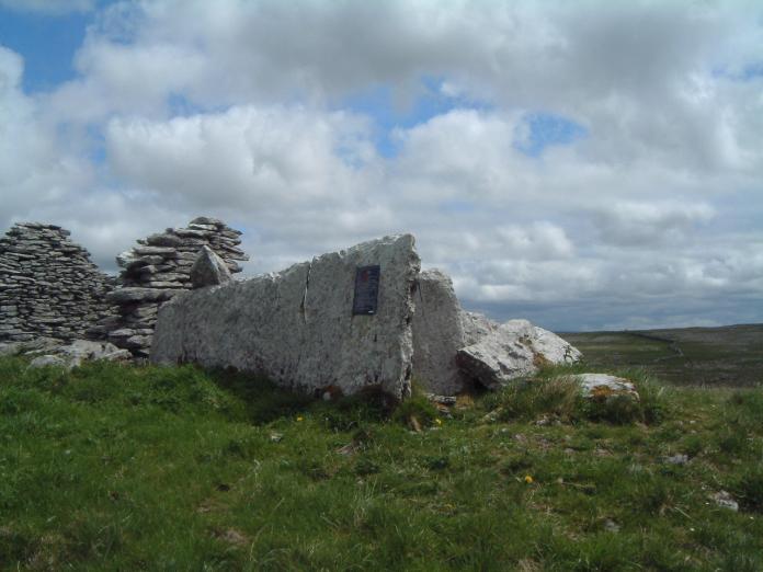
What is recorded here
Slievenaglasha holds a subcircular enclosure sixty-eight metres across on the southeast face of a narrow upland rise. Its grassed-over wall still marks the boundary beside a wedge tomb and a small hut site, linking lives stretched across centuries in one exposed Clare landscape.
Abutting the SE aspect of a NE-SW rise in an upland area with some scrub cover and within an extensive multiperiod field system (CL010-064001-). A subcircular enclosure (c. 68m NW-SE; c. 66m NE-SW) defined by a grassed-over wall visible on Digital Globe (2011-2013) and on OSi MapGenie orthophotography (2013-2018). A wedge tomb (CL010-064023-) lies c. 87m to the NW and a hut site (CL010-274----) lies c. 16m to the SSW.
Compiled by: Mary Tunney
Date of upload: 22 August 2023
The monument record does not grant public access. Check the route and ask the landowner before entering private land.
- What survives
- Recorded monument
Places near here
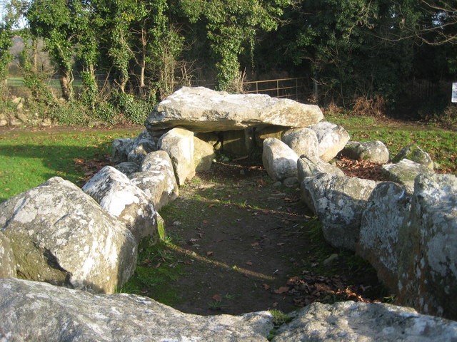 Slievenaglasha Wedge TombArchaeological place · 141 yd
 MohernaglasEnclosure · 231 yd
 Father Ted's HouseHeritage attraction · 1618 yd
 Glenquin Housefarm house · 1625 yd
 Correen R.C. Chapel (in ruins)Church · 1664 yd
 Castle (in ruins)Castle, unclassified · 1713 yd
 Castle in ruinsCastle, tower house · 1.1 mi
 Burren National ParkVisitor information · 1.5 mi
 Farbrega RockNamed rock · 2.5 mi
 Fergus River CaveCave · 3.9 mi
 PoulnabroneMemorial · 3.9 mi
 Poulnabrone - Burren GeositeVisitor information · 4.3 mi
Other information
Photo: Credit not shown in the picture search · Rights wording not checked; contact us if this picture should be removed