What is recorded here
Marked as a rectangular enclosure (dims c. 35m E-W; c. 30m N-S) only on 1925 ed. of the OS 6- inch map. It is situated on a level landscape with the head of a deep but short W-E valley and stream c. 150m to the S. It is not visible at ground level in pasture.
The above description is derived from the published 'Archaeological Inventory of County Wexford' (Dublin: Stationery Office, 1996). In certain instances the entries have been revised and updated in the light of recent research.
Compiled by: Michael Moore
Date of upload/revision: 21 February, 2013
The monument record does not grant public access. Check the route and ask the landowner before entering private land.
- What survives
- Recorded monument
Places near here
 mill (water)mill (water) · 851 yd
 Mullinderry Bridgebridge · 1316 yd
 Bawn in TaylorstownBawn · 1365 yd
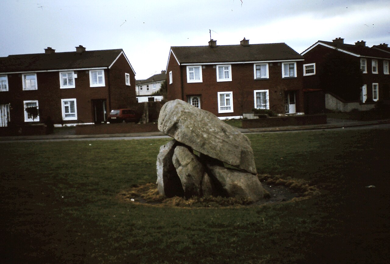 Enclosure in Ballybrack,loughnageerEnclosure · 1599 yd
 Site of St. Catherines ChapelChurch · 1611 yd
 Bawn in Boley (shelburne By.)Bawn · 1.2 mi
 Lockheed Hudson AM885 MemorialMemorial · 1.6 mi
 Coolcliffe HouseRuins · 3.4 mi
 Saltmills Explosion MemorialMemorial · 3.8 mi
 Tinnock RockNamed rock · 4.6 mi
 Carrig-On-BannowVisitor information · 4.7 mi
 Bridges ChamberCave · 5.5 mi