What is recorded here
Fort William House overlookes the rectangular ditch, joining private memory to the old castle and mill. Water still traces the boundary between Woodstock and Lissamota, giving the abandoned line a living pulse. The grassland keeps the shape without explaining it, inviting people to imagine the hands, fears and daily routines that made the margin visible.
In grassland with stream 20m to E which forms townland boundary with Lissamota. An Ordnance Datum spot height of 211 ft. is depicted at this location on the 1840 ed. OS 6-inch map. A flour mill is depicted on this map 100m to N, with castle (LI029-117----) 190m to SSW, Fort William House 175m to WNW. Outline of rectangular-shaped area (approx. dims. 63m NW-SE X 50m NE-SW) defined by a ditch visible on Digital Globe orthophoto taken 2011-13. On this aerial a water leat is visible feeding the ditch at S corner from the stream to E. Cropmark of mill-race visible in field 50m to W of possible moated site. Outline of earthwork clearly visible on Google Earth orthophoto taken 05/02/2009.
See attached Google Earth orthophoto taken 05/02/2009.
Compiled by: Caimin O’Brien
Date of upload: 31 May 2020
The monument record does not grant public access. Check the route and ask the landowner before entering private land.
- What survives
- Recorded monument
Places near here
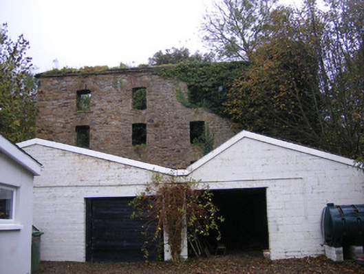 mill (water)mill (water) · 158 yd
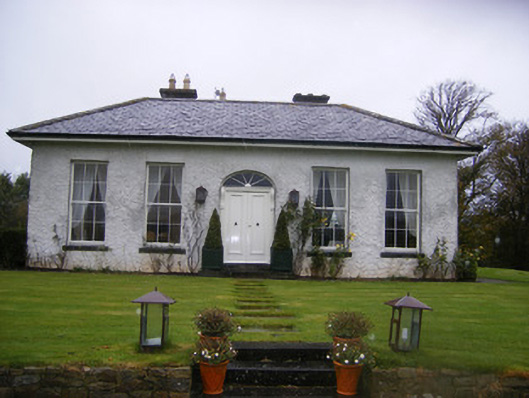 Fort William Housecountry house · 245 yd
 Castle (in ruins)Castle, tower house · 254 yd
 Hachured (1923).Castle, motte · 1043 yd
 Burial GroundBurial ground · 1095 yd
 Johns WellHoly well · 1133 yd
 Famine stoneMemorial · 1.5 mi
 KnockfeerinaMountain / peak · 2.1 mi
 Flat cemetery in Kiltenan SouthFlat cemetery · 2.8 mi
 Kinnoor WellSpring · 3.4 mi
 LaghtpatrickSpring · 3.5 mi
 European ashEuropean ash · 4.4 mi