
What is recorded here
This square-shaped enclosure in Leslie's Wood is adjacent to St Patrick's Terrace and is known as 'Stranavaun' (Sruthán an Mhúin, streamlet of the urine; originally the name of a streamlet, now closed up, according to a local informant). The site is square in plan, measuring internally 64m N-S and E-W. This area is…
Read the whole record
From the National Monuments Service (Archaeological Survey of Ireland) record KE003-012
Places near here
Photo credits
- National Inventory of Architectural Heritage
- Maker not stated on source page, uk.pinterest.com
- Kmcnamee, Wikimedia Commons · CC BY-SA 4.0
- Maker not stated on source page, www.pinterest.com
- Maker not stated on source page, www.irishcentral.com
- Maker not stated on source page, commons.wikimedia.org
 creamery168 yd
Explorer Tom Creamery in Tieraclea Lower was saved by a hero nobody remembers who fixed the arch. Now it’s just a wall, but with…
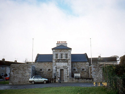 Tarbert CourthouseCourt house · 171 yd
Explorer Tom Tarbert Courthouse has a family tree that’s mostly just people nodding at each other in the yard. It used to be a…
 Fairy fort / stone ringfort in TarbertFairy fort / stone ringfort · 199 yd
Explorer Tom Fairy fort in Tarbert would definitely get 'Died Before The Internet' engraved on its tombstone if it ever decided to…
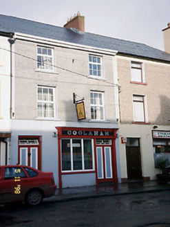 CoolahanHouse · 309 yd
Explorer Tom Coolahan in Tieraclea would post a photo of its own chimney and caption it 'vibes'. It’s half pub now, which means it’s…
 Tarbert GAA pitchGAA ground · 565 yd
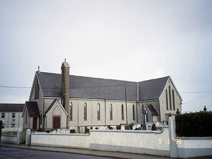 Saint Mary's Catholic ChurchChurch/chapel · 648 yd
Explorer Tom Saint Mary's Catholic Church in Tieraclea Lower had a fox take charge during a service once. The confessionals look…
 CastleCastle, unclassified · 657 yd
Explorer Tom Castle in Tarbert was built around 1450 but nobody mentions it during the Desmond wars. It might have been a manor…
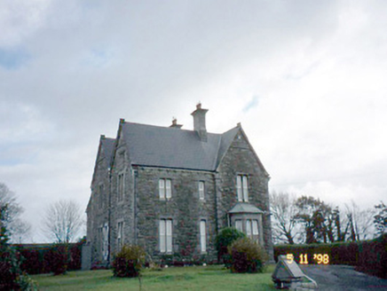 The PresbyteryPresbytery/parochial/curate's house · 718 yd
Explorer Tom The Presbytery in Tieraclea Lower was built on a bargain where the priest got the house and the devil got the roof.…
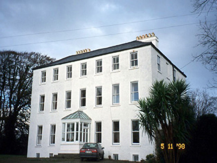 Tarbert HouseHouse · 763 yd
Explorer Tom Tarbert House is so Georgian and stuffy that even the Vikings got lost looking for it. They kept walking past because…
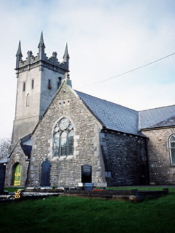 Saint Brendan's Church (Kilnaughtin)Church/chapel · 887 yd
Explorer Tom Saint Brendan's Church (Kilnaughtin) would tell your teens the 1800s were basically just fancy hat fashion and slow…
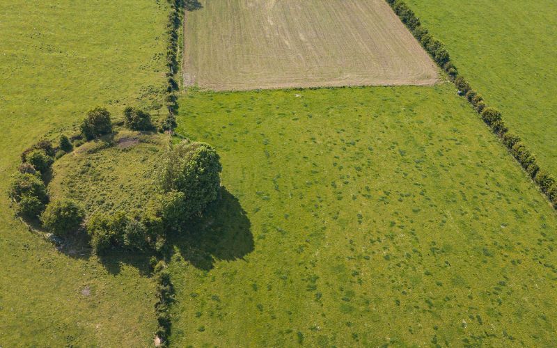 Fairy fort / earthen ringfort in KilpaddogeFairy fort / earthen ringfort · 957 yd
Explorer Tom Fairy fort / earthen ringfort in Kilpaddoge was where a fiddler played all night long until his fingers bled and the…
 Mapped graveyardGraveyard · 1.9 mi
Explorer Tom This mapped graveyard in County Kerry brags about surviving a massive storm that flattened everything else nearby…
More archaeology and monuments in County Kerry · All of County Kerry

What do you know about this place?Tap to add a comment or ask a question