What is recorded here
Approximately rectangular area (dims. 27m N-S x c. 27m E-W) surrounded by a low earthen bank (Wth. 2.5m; H. 0.5m) which rises at each corner (H. 1m). Surrounded by a fosse which is disturbed at the W side. The original entrance is possibly at the W side. There are traces of a mud cabin visible abutting the bank at the SE. Danaher (1955, no. 329) describes traces of an outer bank at the E, W, and S.
Date of upload: 16 September 2016
The monument record does not grant public access. Check the route and ask the landowner before entering private land.
- What survives
- Recorded monument
Places near here
 Church (in Ruins)Church · 888 yd
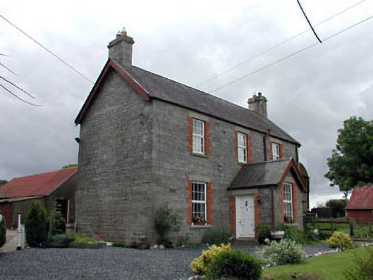 Corballis Housefarm house · 910 yd
 Enclosure in CorballisEnclosure · 999 yd
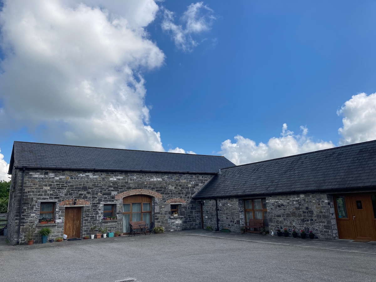 Partially OutlinedCastle, unclassified · 1267 yd
 Hillfort in Ballynacarrick Lower,ballynacarrick Upper,corballis,glowensHillfort · 1594 yd
 CastleCastle, unclassified · 1.7 mi
 European ashEuropean ash · 2.0 mi
 Rahill Church (in ruins), GraveyardChurch · 2.5 mi
 Castledermot Round TowerHeritage attraction · 2.9 mi
 Tinoran HillMountain / peak · 3.0 mi
 Franciscan FriaryHeritage attraction · 3.1 mi
 ProclamationMemorial · 3.3 mi