
What is recorded here
The foundations of a simple rectangular structure aligned ESE-WNW (dims. c. 12m x 6.1m). A small fragment of the S wall, of coursed and mortared boulders is visible (H. c. 3m). The graveyard (KD038-048001-), which was possibly circular, was levelled c. fourteen years ago, and the area has been ploughed.
Date of upload: 15 September 2016
The monument record does not grant public access. Check the route and ask the landowner before entering private land.
- What survives
- Recorded monument
Places near here
 Enclosure in CorballisEnclosure · 111 yd
 Partially OutlinedCastle, unclassified · 383 yd
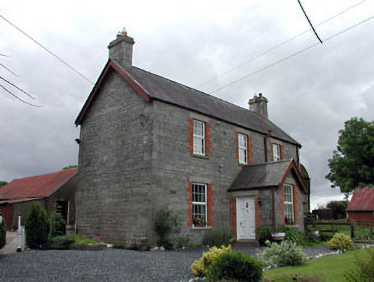 Corballis Housefarm house · 394 yd
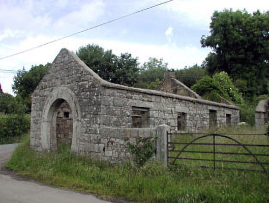 forge/smithyforge/smithy · 734 yd
 Hillfort in Ballynacarrick Lower,ballynacarrick Upper,corballis,glowensHillfort · 945 yd
 European ashEuropean ash · 1.6 mi
 CastleCastle, unclassified · 1.6 mi
 Castledermot Round TowerHeritage attraction · 2.6 mi
 Franciscan FriaryHeritage attraction · 2.7 mi
 ProclamationMemorial · 2.9 mi
 Rahill Church (in ruins), GraveyardChurch · 3.0 mi
 Tinoran HillMountain / peak · 3.1 mi
Other information
Photo: Credit not shown in the picture search · Rights wording not checked; contact us if this picture should be removed