What is recorded here
Aerial photograph (Dr. D.D.C. Pochin Mould) shows soilmark of rectangular enclosure with adjoining subcircular annexe (CO097-047002-) to E. Slight rises noted in field, under crop at time of visit.
The above description is derived from the published 'Archaeological Inventory of County Cork. Volume 1: West Cork' (Dublin: Stationery Office, 1992). In certain instances the entries have been revised and updated in the light of recent research.
Date of upload/revision: 14 January 2009
The monument record does not grant public access. Check the route and ask the landowner before entering private land.
- What survives
- Recorded monument
Places near here
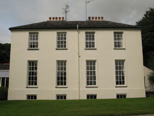 Dundaniel Housecountry house · 351 yd
 Downdaniel Castle (in Ruins)Castle, tower house · 560 yd
 Downdaniel BrBridge · 572 yd
 Monterey CypressMonterey Cypress · 598 yd
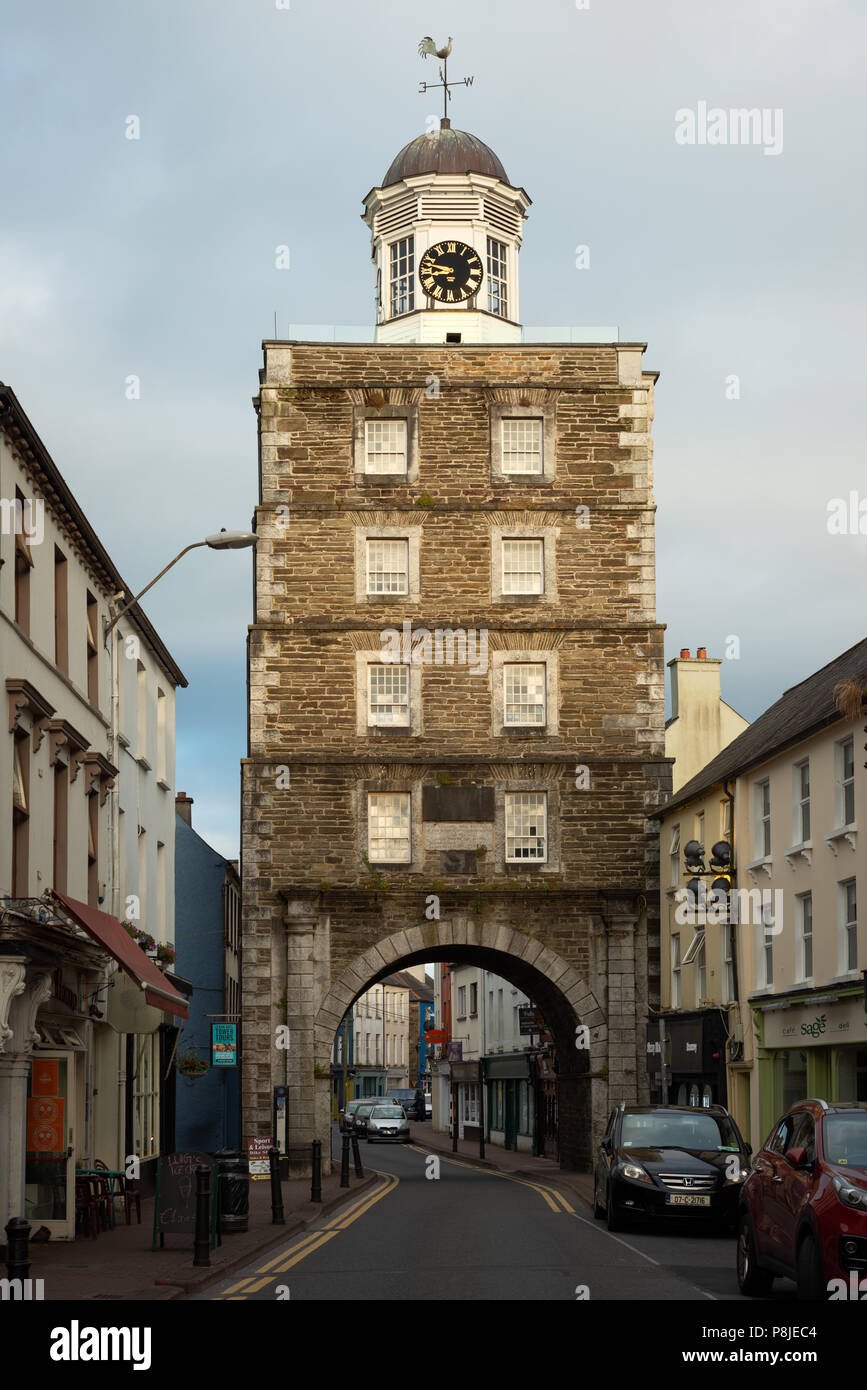 Tower (in Ruins)Designed landscape, belvedere · 813 yd
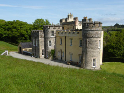 IndicatedEnclosure · 883 yd
 Innishannon WoodsPicnic place · 1098 yd
 Dromkeen WoodWood · 1150 yd
 Carrighnassig Castle (Site of)Castle, unclassified · 2.8 mi
 Carbury's WellSpring · 2.8 mi
 Bandon War MemorialMemorial · 2.9 mi
 Marie LouiseWreck · 3.0 mi