What is recorded here
In pasture on NE-facing slope. Appears as large circular crop-mark on aerial photograph. Circular formal garden of Cor Castle (CO097-051---) shown here on OS 6-inch maps. No visible surface trace.
From the National Monuments Service (Archaeological Survey of Ireland) record CO097-071
The monument record does not grant public access. Check the route and ask the landowner before entering private land.
- What survives
- Recorded monument
Places near here
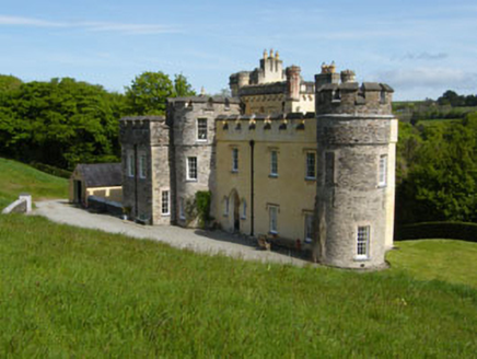 Cor CastleCountry house · 80 yd
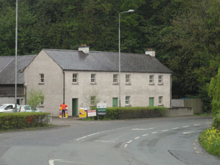 The ForgeHouse · 250 yd
 Monterey Cypress290 yd
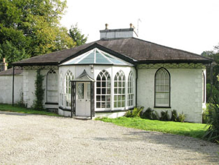 BelmontHouse · 314 ydInnishannon WoodsPicnic place · 344 ydDromkeen WoodWood · 390 yd
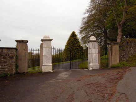 Skevanish HouseGates/railings/walls · 498 yd
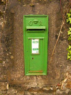 post box512 ydTower (in Ruins)Designed landscape, belvedere · 705 yd
 Downdaniel Castle (in Ruins)Castle, tower house · 738 yd
 Kilpadder Burial Ground (Site of)Burial ground · 1732 yd
 Castle BernardRuins · 4.3 mi
Pictures: National Inventory of Architectural Heritage; Vadim Manuylov, Wikimedia Commons · CC BY-SA 3.0; Jonathan Thacker, Geograph · CC BY-SA 2.0; Neville Goodman, Geograph · Creative Commons Attribution-ShareAlike 2.0; Mike Searle, Geograph · CC BY-SA 2.0
More archaeology and monuments in County Cork · All of County Cork
What do you know about this place?