
What is recorded here
First recorded as a positive cropmark in July 1991. Aerial photograph (GB91. DV.13) shows cropmark of a rectangular enclosure defined on three sides by a broad fosse; the north-eastern side is defined by a small stream. This enclosure is recorded as a rectangular field on the first edition OS 6-inch map; however, the broad fosse suggests that this may be an archaeological monument (Gillian Barrett).
The monument record does not grant public access. Check the route and ask the landowner before entering private land.
- What survives
- Recorded monument
Places near here
 TumulusMound · 235 yd
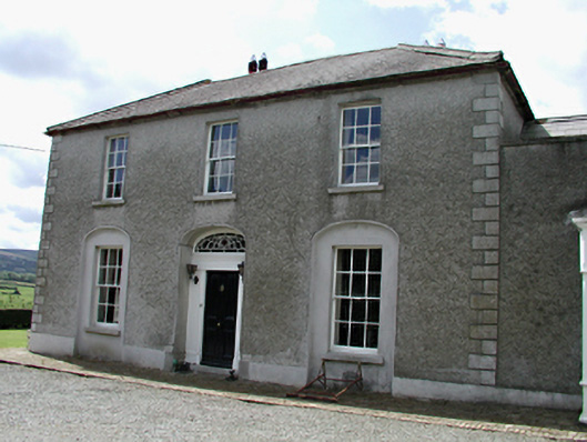 Rathcreedan Housefarm house · 345 yd
 Enclosure in BallynakellyEnclosure · 543 yd
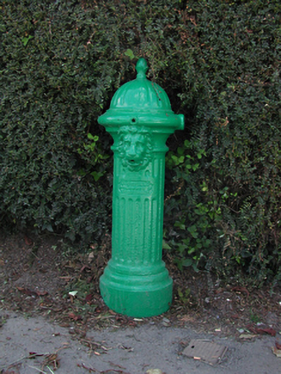 water pumpwater pump · 680 yd
 Inniscara GalleryGallery · 1448 yd
 CastleCastle, tower house · 1.0 mi
 Athgoe HillMountain / peak · 1.0 mi
 IndicatedCastle, motte · 1.1 mi
 European YewEuropean Yew · 1.1 mi
 Saint Finian's WellSpring · 1.1 mi
 Rathcoole WoodlandWood · 1.3 mi
 Meadow WildlifeVisitor information · 1.4 mi
Other information
Photo: Credit not shown in the picture search · Rights wording not checked; contact us if this picture should be removed