What is recorded here
Situated in undulating pasture. Depicted on the revised 1910 ed. OS 25-inch map as a square-shaped earthwork. Monument described as a square-shaped area (approx. dims. 37m x 36m) enclosed by an inner bank, an intervening fosse and an outer bank. The inner and outer banks are wide and low and are raised at the corners. The intervening fosse is wide and deep. There is an entrance halfway along the SE side, which also appears to be depicted on the revised 1910 ed. OS 25-inch map. The interior is fairly even and there are no visible features. The interior and perimeter of the site are densely overgrown with blackthorn and hawthorn thickets and beech trees. Monument is visible today as a roughly rectangular-shaped scrub-covered earthwork which is enclosed by forestry to S, W and N on Digital Globe aerial photography.
Compiled by Alison McQueen, Vera Rahilly and Caimin O’Brien.
Date of upload: 18 December 2019
The monument record does not grant public access. Check the route and ask the landowner before entering private land.
- What survives
- Recorded monument
Places near here
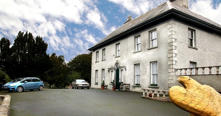 Ballybought HouseRuins · 1514 yd
 Durrow HillMountain / peak · 1622 yd
 BarrowBarrow, ring-barrow · 1697 yd
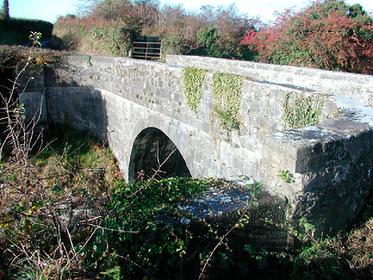 Grange Bridgebridge · 1.1 mi
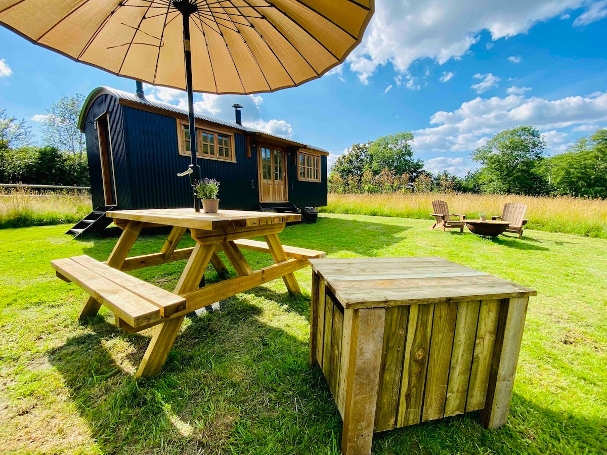 Hut site in BalleekHut site · 1.1 mi
 Shancourt or MeeneglishCastle, unclassified · 1.2 mi
 Bonfire HillMountain / peak · 1.2 mi
 St. Columba's WellSpring · 1.9 mi
 High WoodWood · 2.0 mi
 Ardan WoodWood · 2.1 mi
 Durrow MoatCastle, motte · 2.1 mi
 Grand Canal WayWalking route · 4.2 mi