What is recorded here
Anne Hussy held 338 acres at Moynalvy in 1640, working a stone house, an old castle and ten cabins beside a moated enclosure still marked by grassy banks and ditches. The site remains a rectangular grass-covered boundary where a relict bank and outer fosse frame quiet fields on gently undulating ground. Her name survives in the land itself, suggesting a household that shaped this place long before modern records arrived.
Situated on a gently undulating landscape. According to the Civil Survey (1654) Anne Hussy, described as an Irish Papist, owned 338 acres at Moynalvy in 1640, and on the land were a stone house, an old castle and 10 cabins. She also owned 60 acres in Crickstown, and other members of the Hussy family owned land in the barony of Deece (Simington 1940, 148-9). Earthwork banks and ditches covering about 64 acres (c. 25.5 ha) in nine fields are visible on a vertical aerial photograph (GSIAP: N 299) from the 1970s. The banks (Wth c. 3m; H 0.2-0.8m), ditches (Wth c. 2-2.5m; D 0.2-0.3m) and scarps create small rectangular or irregular fields (dims c. 60m x c. 50m).
This is a rectangular grass-covered enclosure (dims 21.5m NW-SE; 19.5m NE-SW) defined by a relict bank (at SE: Wth 3.5m; H 0.3m) with an outer fosse or moat (at SE: Wth of base 2.5m; ext. D 0.6m) at NE and SE, a field bank at NW and a SE-NW stream at SW. It is within the W corner of the large enclosure (ME043-026---).
The above description is derived from the published 'Archaeological Inventory of County Meath' (Dublin: Stationery Office, 1987). In certain instances the entries have been revised and updated in the light of recent research.
Compiled by: Michael Moore
Date of revision: 21 August 2019
The monument record does not grant public access. Check the route and ask the landowner before entering private land.
- What survives
- Recorded monument
Places near here
 EnclosureEnclosure, large enclosure · 439 yd
 Church (in Ruins)Church · 1601 yd
 CastleCastle, unclassified · 1.0 mi
 Enclosure in ClonymeathEnclosure · 1.2 mi
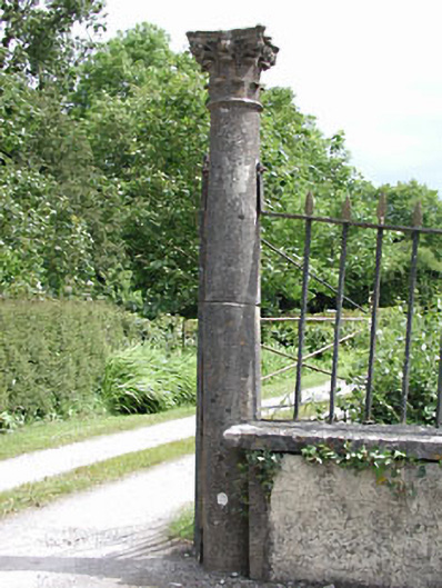 Spring Valley Housedemesne walls/gates/railings · 1.5 mi
 IndicatedBawn · 1.7 mi
 MullaghMountain / peak · 2.7 mi
 Larchil Arcadian GardensHeritage attraction · 3.0 mi
 Saints IslandForest · 3.1 mi
 1798 MemorialMemorial · 3.5 mi
 Kilgar GardensHeritage attraction · 3.5 mi
 Railway Woods (North)Forest · 4.2 mi