
What is recorded here
Located at the top of a S-facing slope. It is not depicted on any map but is visible on aerial photograph (GSIAP: N 299). This was described in 1985 (SMR file) as a rectangular grass-covered area (dims 32m NE-SW at W to 47m NE-SW at E; 32m NW-SE) defined by a grass-covered fosse (Wth of top 3m; int. D 0.3-0.5m; ext. D 0.2m) on each side except the NE where there is a stone wall. There is a modern gateway through the stone wall and a farm track cuts the fosse on the SW side. It is probably a small field, and the visible profile had been removed by 1995 (OSAP), and has not become evident on any subsequent series of aerial images.
The above description is derived from the published 'Archaeological Inventory of County Meath' (Dublin: Stationery Office, 1987). In certain instances the entries have been revised and updated in the light of recent research.
Compiled by: Michael Moore
Date of revision: 21 August 2019
A local fairy fort (ringfort/rath); wider significance not recorded.
The monument record does not grant public access. Check the route and ask the landowner before entering private land.
- What survives
- Recorded monument
Places near here
 Old Burial GroundChurch · 320 yd
 CastleCastle, motte · 777 yd
 Fulacht fia in ArodstownFulacht fia · 1722 yd
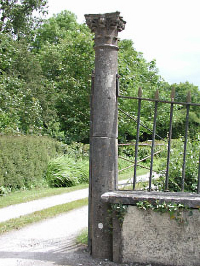 Spring Valley Housedemesne walls/gates/railings · 1.2 mi
 Galtrim MoatCastle, motte · 1.2 mi
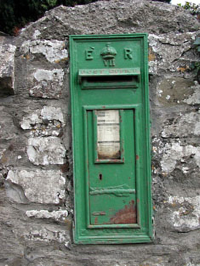 post boxpost box · 1.3 mi
 European ashEuropean ash · 1.4 mi
 Saints IslandForest · 2.0 mi
 MullaghMountain / peak · 3.9 mi
 Larchil Arcadian GardensHeritage attraction · 4.2 mi
 Kilgar GardensHeritage attraction · 4.4 mi
 1798 MemorialMemorial · 4.7 mi
Other information
Photo: Credit not shown in the picture search · Rights wording not checked; contact us if this picture should be removed