What is recorded here
In pasture, atop hill with panoramic views over surrounding countryside. Roughly rectangular raised area (60m N-S; 51.8m E-W) enclosed by earthen bank (int. H 0.30m; ext. H 0.70m) with external fosse (D 0.15m; Wth 1.2m) SW->W. Bank, best preserved at N, becomes scarp-like at SE. Low raised lip (Wth 4m) defined by scarp edge (H 0.28m) runs along base of inner bank face SW->NW. Uneven interior, under pasture, dips down towards the NE quadrant. Small clearance heap of earth and stones in SE quadrant.
Compiled by: Denis Power
Date of upload: 26 August 2011
The monument record does not grant public access. Check the route and ask the landowner before entering private land.
- What survives
- Recorded monument
Places near here
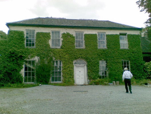 Ballysteen Housecountry house · 1136 yd
 Court BrownArchaeological place · 1273 yd
 Ballynash CastleCastle, unclassified · 1641 yd
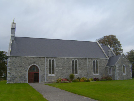 Saint Patrick's Catholic Churchchurch/chapel · 1.2 mi
 Sunday WellsHoly well · 1.4 mi
 Courtbrown PointHeadland · 1.4 mi
 Greenish IslandIslet · 1.5 mi
 Tomdeely CastleCastle · 1.7 mi
 Holly IslandIslet · 1.9 mi
 Askeaton CastleHeritage attraction · 2.2 mi
 Herring RockNamed rock · 2.9 mi
 European YewEuropean Yew · 4.4 mi