What is recorded here
On level ground on a gentle E-facing slope with river flowing N-S at base of slope, in pasture. Moated site indicated as a roughly rectangular area on the 1903-04 OS 6-inch map, defined by scarp and fosse along S and W side with river flowing N-S at base of scarp along E side. According to Barry (1977, 208) the monument was levelled in 1973. The N, E and portion of the S side are still visibly defined (diam. 32m N-S) by low scarp (Wth 1.4-2.7m; ext. H 0.2m). Some stone protrudes from the surface of the scarp along N edge and in interior. According to the landowner a bank and fosse formerly enclosed the monument.
Compiled by: Jean Farrelly
Date of upload: 26 August 2011
The monument record does not grant public access. Check the route and ask the landowner before entering private land.
- What survives
- Recorded monument
Places near here
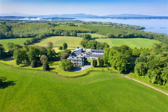 Enclosure in Coolbaun (cooleagh Par.)Enclosure · 627 yd
 Enclosure in Moglass (killenaule Par.)Enclosure · 725 yd
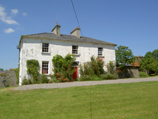 Knockanglass Househouse · 791 yd
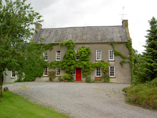 Clonbrogan Househouse · 1720 yd
 CastleCastle, unclassified · 1.1 mi
 Mortlestown Castle RuinCastle · 1.4 mi
 Kilknockan HillMountain / peak · 3.0 mi
 Noan WoodWood · 3.3 mi
 Eagle HillMountain / peak · 3.3 mi
 Taylor's WoodWood · 3.6 mi
 East GateMemorial · 4.1 mi
 Cashel Folk MusuemMuseum · 7.8 mi