What is recorded here
In pasture, at base of a gentle S-facing slope, c. 70m NE of River Moyle. Raised (H 0.45m) oval area (dims. 14m N-S; 22m E-W) defined by irregular scarp (Wth 1.2m). Linear depression (L 10m; Wth 3m; D 0.2m; long-axis N-S) truncates monument leaving small levelled portion in E-sector. Interior slopes down from central high point to scarp all around. Noted as a sub-rectangular enclosure (dims.) on 1840 OS 6-inch map. Castle (TS069-070001-), bawn (TS069-070002-) and church (TS069-070003-) located c. 350m to NE.
Compiled by: Jean Farrelly
Date of upload: 26 August 2011
The monument record does not grant public access. Check the route and ask the landowner before entering private land.
- What survives
- Recorded monument
Places near here
 Site of ChurchChurch · 360 yd
 BatteryBawn · 456 yd
 ToberamaherHoly well · 1476 yd
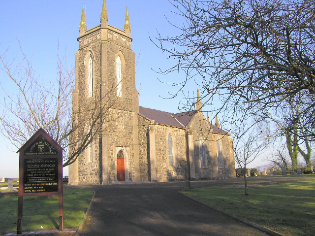 Colman Church (in ruins)Church · 1.1 mi
 Ballyclerahan Church (in ruins)Church · 1.1 mi
 CastleCastle, unclassified · 1.7 mi
 Pedunculate OakPedunculate Oak · 1.8 mi
 Grove WoodForest · 3.8 mi
 East GateMemorial · 4.1 mi
 Kilknockan HillMountain / peak · 5.0 mi
 Caher AbbeyHeritage attraction · 7.5 mi
 Cahir CastleHeritage attraction · 7.6 mi