
What is recorded here
This site is situated in a corner of a field, and a track lies immediately to the E and S of it. At these points the bank has been incorporated into a fieldbank. This enclosure consists of an inner area enclosed by a fosse and an outer bank, but the outer bank can only be traced from the N through W to the SW. The…
Read the whole record
From the National Monuments Service (Archaeological Survey of Ireland) record KE003-033
Places near here
Photo credits
- Maker not stated on source page, www.irelandhighlights.com
- Maker not stated on source page, www.pinterest.com
- Patrice78500, Wikimedia Commons · CC BY-SA 4.0
- National Inventory of Architectural Heritage
- Ballylongford Snaps; individual photographer not named, ballylongfordsnaps.com
- Maker not stated on source page, www.irishexaminer.com
- Borvan53, Wikimedia Commons · CC BY-SA 3.0
- Arcaist, Wikimedia Commons · CC BY-SA 3.0
- Chris, Geograph · CC BY-SA 2.0
- Colin Park, Geograph · CC BY-SA 2.0
 Fairy fort / earthen ringfort in LislaughtinFairy fort / earthen ringfort · 302 yd
Explorer Tom Fairy fort / earthen ringfort in Lislaughtin has a family tree that's mostly just made-up gossip. Half of its east side…
 Mapped graveyardGraveyard · 821 yd
Explorer Tom Here's a mapped graveyard in Kerry that’s secretly proud of one specific potato growing near the gate. It thinks that…
 Lislaughtin Abbey (in ruins)Religious house, Franciscan friars · 854 yd
Explorer Tom Lislaughtin Abbey’s favourite song is 'O Come All Ye Faithful' because it hates crowds and finds them exhausting. The…
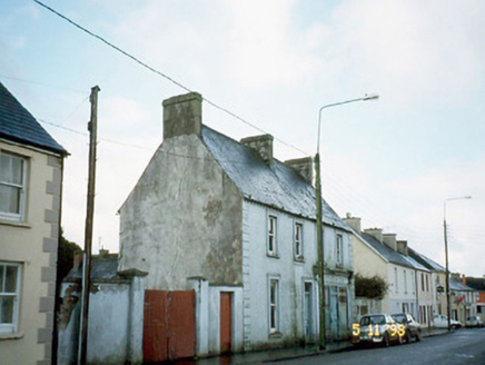 Ó CoileáinHouse · 913 yd
Explorer Tom Ó Coileáin in Ballymacasy has an imaginary fan club that meets every Tuesday to discuss its demolished shopfront. They…
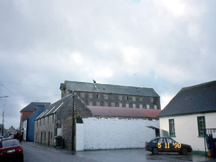 store/warehouse918 yd
Explorer Tom This Ballymacasy store is five storeys of limestone grandeur, but there’s a curse that only hits people who don’t wave…
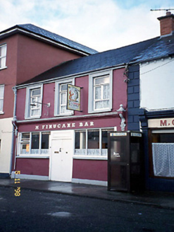 M. FinucaneHouse · 919 yd
Explorer Tom M. Finucane in Ballymacasy has a seagull problem that would make a sailor weep with envy. The birds think they own the…
 Ballylongford GAA pitchGAA ground · 1067 yd
 Fairy fort / earthen ringfort in Rusheen (ir .by.)Fairy fort / earthen ringfort · 1332 yd
Explorer Tom Rusheen’s fairy fort has got a curse on it, mate. If you don’t wave hello, your shoelaces will untie themselves and…
 Siege of Carrigafoyle CastleSiege · 1.8 mi
Explorer Tom The Siege of Carrigafoyle Castle happened when the whole parish argued about who had the right to park their boat by…
 Carrigafoyle CastleCastle · 1.8 mi
Explorer Tom Carrigafoyle Castle would win any county fair prize for best costume because it looks like it stepped out of a fairy…
 Carrigafoyle Cas. (in ruins)Castle, tower house · 1.8 mi
Explorer Tom Carrigafoyle Cas. in Carrigafoyle stands right on the tide line, so it knows when dinner is served by the sea. It's…
 Carrig IslandIsland · 2.1 mi
Explorer Tom Carrig Island had a cow try to buy it once by offering three pints of stout and a very confused expression, which was…
More archaeology and monuments in County Kerry · All of County Kerry

What do you know about this place?Tap to add a comment or ask a question