What is recorded here
On a natural rise above bogland on the valley floor, with a stream running roughly E-W c. 40m to the N. There are moderate views from this location. Carrigan (1905, vol. 2, 320) describes an area called 'Dhooneeach' close to Lisdowney village, with a field called the well field. This appears to be a field c. 300m NW of the village. According to Carrigan (ibid.), 'Occupying the centre of the latter field, and coming very close to the well, is a large, dismantled fort, circular in shape, and rising to a height of 4 [1.2m] or 5 ft. [1.5m] over the surrounding land; the trench or fosse that enclosed it can still be traced nearly all the way round. Some hundred years ago or so a pigeon house stood on the fort, and its erection, no doubt, had much to do with the dismantling to which the fort has been subjected. This fort is the original Dhooneeach'. The location was identified during an SMR fieldtrip in 1987, the enclosure being visible as a low rise in the field. According to the landowner a 'wet rath' to the NW of the enclosure had been cleared away. On Digitalglobe imagery (viewed 12 February 2018) two enclosures are visible N of the well, that to the NE is less clear but it is possibly the denuded ringfort (KK009-070----), while that to the NW, possibly the 'wet rath' referred to by the landowner, is square (dims. 40m NW-SE; 40m NE-SW) and appears to be a moated site defined by a fosse.
Compiled by: Jean Farrelly
Date of upload: 12 February 2018
The monument record does not grant public access. Check the route and ask the landowner before entering private land.
- What survives
- Recorded monument
Places near here
 CastleCastle, unclassified · 125 yd
 Saint Brigid's Catholic Churchchurch/chapel · 438 yd
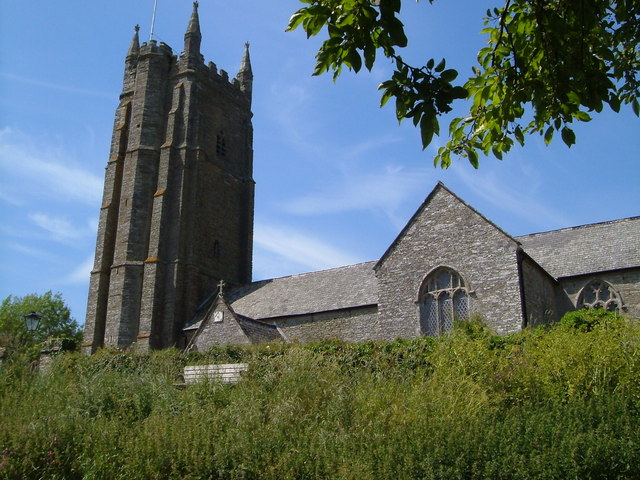 Church in Seskin SouthChurch · 948 yd
 Enclosure in LisdowneyEnclosure · 965 yd
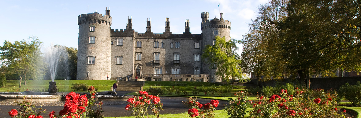 IndicatedFairy fort / earthen ringfort · 1174 yd
 Mountgarret Castle (in ruins)Castle, unclassified · 1528 yd
 Anker's IslandIsland · 2.2 mi
 The CopseWood · 5.0 mi
 Street fieldArchaeological place · 5.0 mi
 Clomantagh HillMountain / peak · 5.9 mi
 DelaneyMemorial · 7.3 mi
 Cnoc SeanrathaMemorial · 8.2 mi