
What is recorded here
In level pasture. Densely overgrown, rectangular area (c. 40m NNW-SSE; c. 30m ENE-WSW) defined by earthen bank (ext. H c. 3.3m to base of fosse) to NNW and WSW and by scarp to ENE and SSE; wide, waterlogged external fosse (Wth c. 6-8m) on all sides. Entrance (Wth 6m) at centre of WSW bank, with remains of stone facing…
Read the whole record
From the National Monuments Service (Archaeological Survey of Ireland) record CO002-052
Places near here
Photo credits
- Maker not stated on source page, www.dreamstime.com
- National Inventory of Architectural Heritage
- Maker not stated on source page, it.pinterest.com
- Golfing in Ireland; photographer not stated, Source publisher
- Maker not stated on source page, en.wikipedia.org
- Maker not stated on source page, www.pinterest.com
- Kmcnamee, Wikimedia Commons · CC BY-SA 4.0
 Fairy fort / earthen ringfort in Ballydaheen (orrery and Kilmore By.)Fairy fort / earthen ringfort · 937 yd
Explorer Tom This Ballydaheen ringfort has an interior shaped like a saucer, which I find very odd for a fort. The bank is levelled…
 Gortskagh HouseOutbuilding · 1365 yd
Explorer Tom Gortskagh House outbuilding in Gortskagh has a chamfered corner specifically so carts wouldn’t scratch it, which is the…
 Fairy fort / earthen ringfort in Broghill NorthFairy fort / earthen ringfort · 1737 yd
Explorer Tom Fairy fort / earthen ringfort in Broghill North is having a massive drama with the nearest tree, arguing over who has…
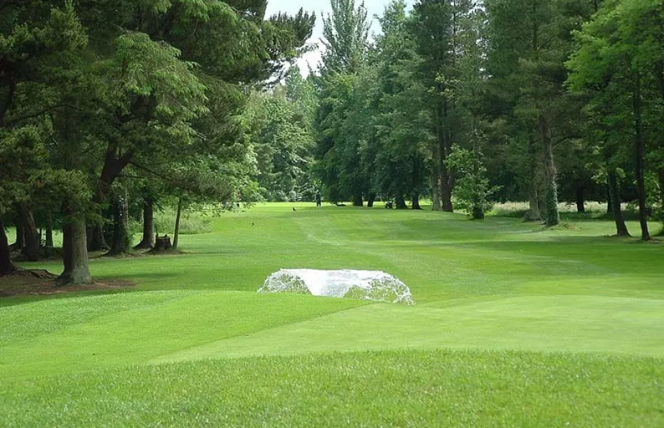 Charleville Golf ClubGolf course · 1.0 mi
 Ballyhubbo HouseHouse · 1.2 mi
Explorer Tom Ballyhubbo House is a tiny gem from 1830 that thinks it’s the main event because of its fancy render ornamentation. It…
 Árd na CroíHouse · 1.4 mi
Explorer Tom Árd na Croí has a timber porch with a balcony above that looks like it wants to fly away. Built around 1910, it has…
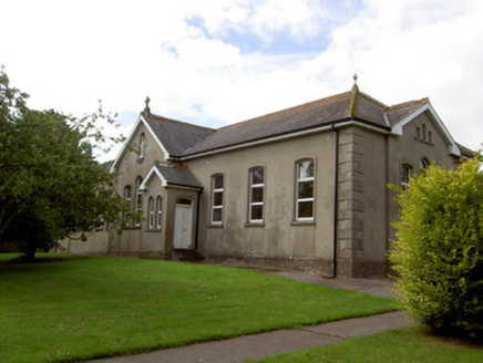 Convent of MercySchool · 1.4 mi
Explorer Tom Convent of Mercy makes a sound at night like a very polite cough, which is actually just the wind getting stuck in the…
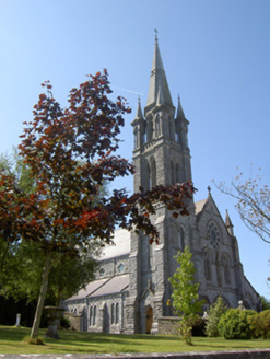 Holy Cross Catholic ChurchChurch/chapel · 1.5 mi
Explorer Tom Holy Cross Catholic Church in Rathgoggan Middle is a Gothic Revival church dated 1898 with an elaborate tall tower.…
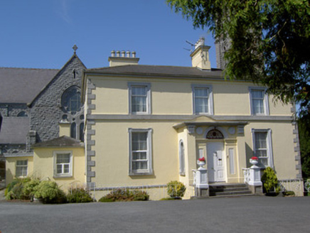 presbytery/parochial/curate's house1.5 mi
Explorer Tom Presbytery in Rathgoggan Middle is all about classical architecture stripped right back to the bare minimum of…
 Castle (Site of)Castle, unclassified · 1.7 mi
Explorer Tom Castle in Milltown is an L-shaped foundation with a well that was probably the kitchen sink. It’s like that awkward…
 Castle (in Ruins)Castle, unclassified · 1.7 mi
Explorer Tom Castle in Cloghanughera sits on a cliff edge with foundations still visible and large chunks of masonry strewn about.…
 Charleville GAA pitchGAA ground · 1.7 mi
More archaeology and monuments in County Cork · All of County Cork

What do you know about this place?Tap to add a comment or ask a question