What is recorded here
In improved, undulating pasture, on a N-facing slope. No visible surface trace. Depicted on latest edition OS 6-inch map as a sub-rectangular enclosure (dims. c. 50m NE-SW; c. 40m NW-SE) abutting road to S.
Compiled by: Jean Farrelly
Date of upload: 26 August 2011
The monument record does not grant public access. Check the route and ask the landowner before entering private land.
- What survives
- Recorded monument
Places near here
 Rock Viewhouse · 423 yd
 Enclosure in FarranamanaghEnclosure · 804 yd
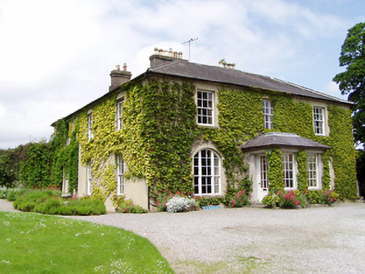 Ballinamona Househouse · 1133 yd
 Field system in CastlelakeField system · 1158 yd
 Ballynahinch Castle (in ruins)Castle, tower house · 1588 yd
 Site of CastleCastle, unclassified · 1.0 mi
 Hore AbbeyHeritage attraction · 2.0 mi
 Athassel PrioryHeritage attraction · 2.6 mi
 Maudemount BogWood · 6.6 mi
 European ashEuropean ash · 6.9 mi
 I.R.A. 3rd. Tipperary Brigade MemorialMemorial · 8.8 mi
 Soloheadbeg Ambushambush · 9.2 mi