What is recorded here
In gently undulating terrain surrounded by pasture. Monument is planted with deciduous trees c. 6-10 years old. Hedgerow runs N-S along E side of moated site. Rectangular enclosure (diam. 30.3m N-S; 35.8m E-W) defined by a round-topped bank (Wth 6.2-7.9m; int. H 0.2m; ext. H 1-1.68m)); flat-bottomed waterlogged fosse (Wth 3.3-3.6m; D 1.38-1.63m) and counter-scarp bank (Wth 3.2m; ext. H 0.3m). Bank has been damaged by animal burrows. Causewayed entrance (Wth 3.2m) in W quadrant. Leat (L c. 5m; Wth 1.5m) at E end of S side which connects to a stream running roughly E-W along S side of moated site.
Compiled by: Jean Farrelly
Date of upload: 26 August 2011
The monument record does not grant public access. Check the route and ask the landowner before entering private land.
- What survives
- Recorded monument
Places near here
 Ladys WellHoly well · 754 yd
 Slainstown Castle (in ruins)Castle, tower house · 856 yd
 Concentric enclosure in KnockkellyConcentric enclosure · 861 yd
 Knockkelly CastleCastle · 1231 yd
 Peppardstown Househouse · 1346 yd
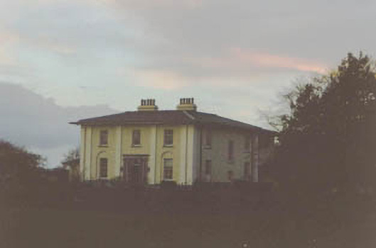 Coolmore Housecountry house · 1602 yd
 Kilknockan HillMountain / peak · 1.6 mi
 East GateMemorial · 2.7 mi
 European YewEuropean Yew · 2.8 mi
 Eagle HillMountain / peak · 3.3 mi
 Grove WoodForest · 3.7 mi
 Enclosure in Knockkelly,higginstownEnclosure · 882 yd