What is recorded here
Located in a low-lying landscape with a N-S stream c. 50m to the NW. The cropmark of a rectangular enclosure (dims c. 30m NE-SW; c. 25m NW-SE) defined by a wide ditch feature (Wth c. 4m) with a leat to the stream from the N corner is visible on aerial photographs (MM (48) 24-27). It is probably a moated site and it is also faintly visible on the OSI series of aerial photographs (2000), and more clearly on those of Bing.
Compiled by: Michael Moore
Date of upload: 20 March, 2013
The monument record does not grant public access. Check the route and ask the landowner before entering private land.
- What survives
- Recorded monument
Places near here
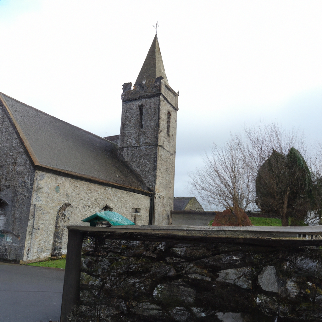 Church in TullycannaChurch · 676 yd
 Springwoodfarm house · 1611 yd
 CastleHouse, fortified house · 1.2 mi
 Castle (in ruins)Castle, tower house · 1.2 mi
 Field system in Hilltown (shelmaliere West By.)Field system · 1.2 mi
 Field boundary in Hilltown (shelmaliere West By.)Field boundary · 1.4 mi
 Coolcliffe HouseRuins · 2.9 mi
 Carrig-On-BannowVisitor information · 2.9 mi
 1798 MemorialMemorial · 2.9 mi
 Cullenstown StrandBeach / strand · 3.9 mi
 Ballymadder PointHeadland · 4.5 mi
 Cull IslandIsland · 4.6 mi