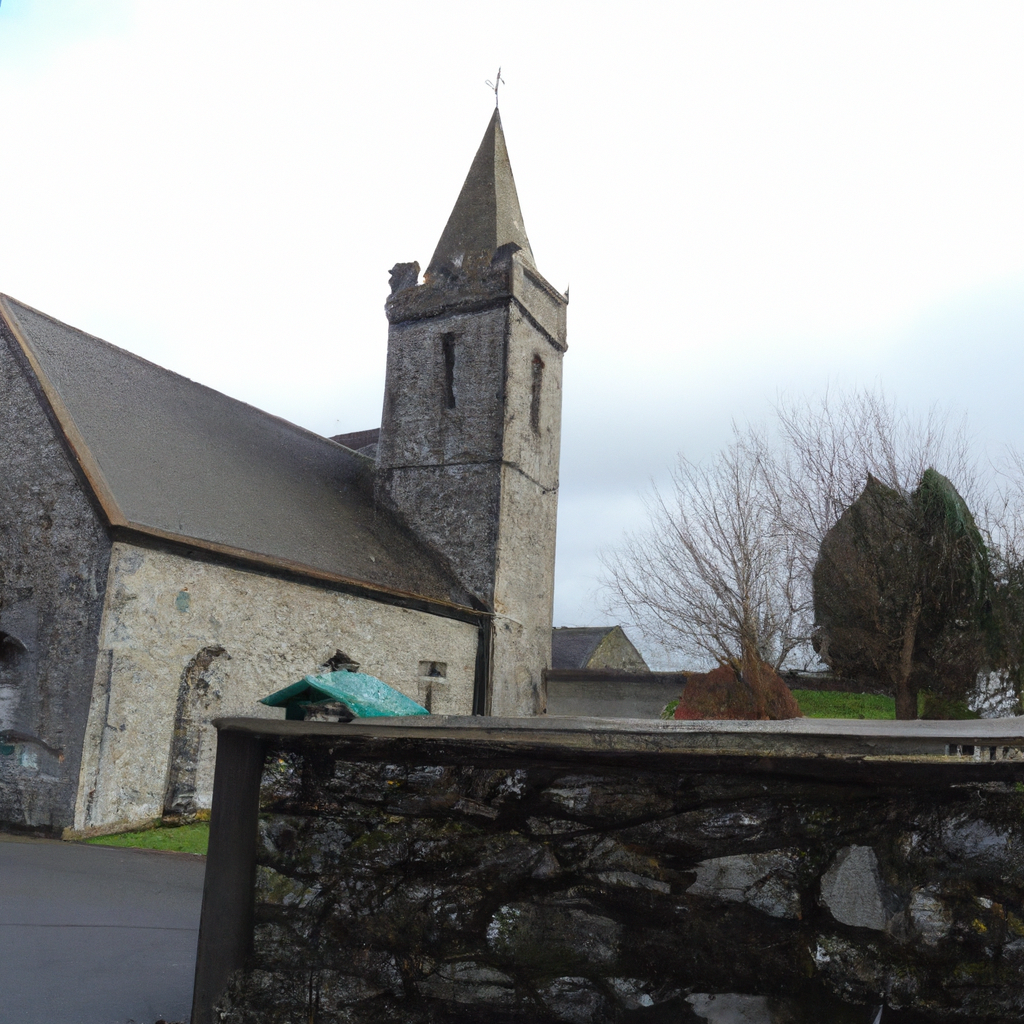
What is recorded here
Located towards the S end of a broad N-S ridge. There is a local tradition of the former existence of a church here. There are no visible remains of a structure, enclosure or burials at ground level in a pasture field, although the field bank and townland boundary with Knockbine to the S curves SE-W (diam. c. 35m). The name Tullycanna - Tulaigh Uí Chionaoith or Ó Cionaoith’s hillock, contains the family name Ó Cionaoith who were a medieval ecclesiastical family in Ferns diocese. When Tullycanna was forfeited by Walter Neville in the 1650s (Simington 1953, 142) a church is indexed as in Tullycanna as well as the castle and the mill (ibid. 164). The land at Tullycanna reverted initially to the Protestant Bishop of Ferns, which further suggests that Tullycanna had always been Church land (pers com. Conchubhar Ó Crualaoich 27/11/2020).
The above description is derived from the published 'Archaeological Inventory of County Wexford' (Dublin: Stationery Office, 1996). In certain instances the entries have been revised and updated in the light of recent research.
Compiled by: Michael Moore
Date of upload: 21 March, 2013
Amended; 27 November 2020
This remains an important historical record, but the official description says the monument is no longer visible or has been destroyed. The monument record does not grant public access. Check the route and ask the landowner before entering private land.
- What survives
- No visible remains or recorded as destroyed
Places near here
 Springwoodfarm house · 1397 yd
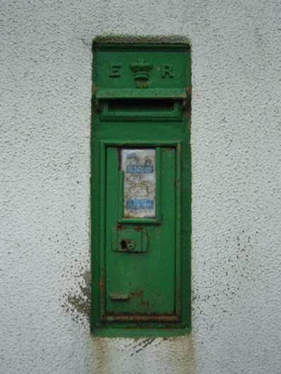 post boxpost box · 1497 yd
 CastleHouse, fortified house · 1.4 mi
 St. Ambroses WellHoly well · 1.4 mi
 Field system in Hilltown (shelmaliere West By.)Field system · 1.4 mi
 Castle (in ruins)Castle, tower house · 1.6 mi
 Coolcliffe HouseRuins · 3.0 mi
 Carrig-On-BannowVisitor information · 3.2 mi
 1798 MemorialMemorial · 3.3 mi
 Cullenstown StrandBeach / strand · 4.2 mi
 Cull IslandIsland · 4.6 mi
 Ballymadder PointHeadland · 4.8 mi
Other information
Photo: Credit not shown in the picture search · Rights wording not checked; contact us if this picture should be removed