What is recorded here
In pasture, on S-facing slope. Rectangular area (54m NW-SE; 36m NE-SW) enclosed by earthen bank (int. H 0.4m ext. H 1.5m) with external fosse (D 0.7m). Break roughly mid-way along NE, SE, SW and NW banks; bank densely overgrown. Fosse almost totally infilled to SE where farm track constructed; slight causeway across fosse at NW break in bank. Interior slopes down gently to SE; in S quadrant, scarp extends from SW bank c. 15m into interior; almost in line with this scarp but further to NE, 'Man-made underground passage' (13288) marked on 1936 OS 6-inch map. Remains of cultivation ridges cross interior on NW-SE axis. Listed by Barry (1981, 83, no. 54).
The above description is derived from the published 'Archaeological Inventory of County Cork. Volume 4: North Cork' (Dublin: Stationery Office, 2000). In certain instances the entries have been revised and updated in the light of recent research.
Date of upload/revision: 14 January 2009
This monument is subject to a preservation order made under the National Monuments Acts 1930 to 2014 (PO no. 13/1972).
The monument record does not grant public access. Check the route and ask the landowner before entering private land.
- What survives
- Recorded monument
Places near here
 Mound in KnockagarryMound · 336 yd
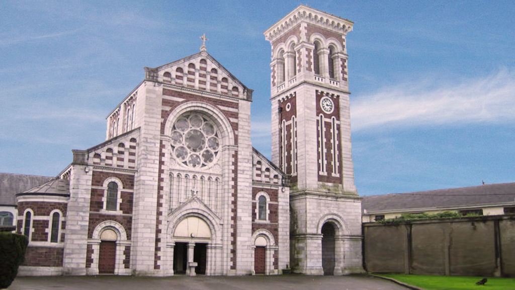 Church (Site of)Church · 1155 yd
 IndicatedHouse, vernacular house · 1533 yd
 Saint Joseph's Catholic Churchchurch/chapel · 1.0 mi
 Carriganoura Castle (in Ruins)Castle, tower house · 1.5 mi
 Kilclooney WoodWood · 2.1 mi
 Ballyarthur HillMountain / peak · 2.2 mi
 CastleCastle, unclassified · 2.4 mi
 John MandevilleMemorial · 3.2 mi
 Mitchelstown Town MapVisitor information · 3.2 mi
 Statue of Saint FanahanMemorial · 3.3 mi
 CarrigeenamronetyMountain / peak · 4.3 mi