What is recorded here
In pastureland on a level floodplain c. 30m E of the river Boyne. Described in 1955 as a subrectangular platform with traces of a bank, and visible on aerial photographs (CUCAP AOZ 29 (1966); AYR 44 (1969)) as a rectangular area (int. dims. L c. 30m NW-SE; Wth c. 20m) defined by a low bank and outer fosse, with an entrance at E. In 1985 it was no longer visible at ground level (SMR file). It was probably a moated site.
Compiled by: Gearóid Conroy
Date of upload: 10 June 2011
The monument record does not grant public access. Check the route and ask the landowner before entering private land.
- What survives
- Recorded monument
Places near here
 Enclosure in KilrathmurryEnclosure · 200 yd
 Croppies' GraveMemorial · 784 yd
 Leinster Bridgebridge · 1012 yd
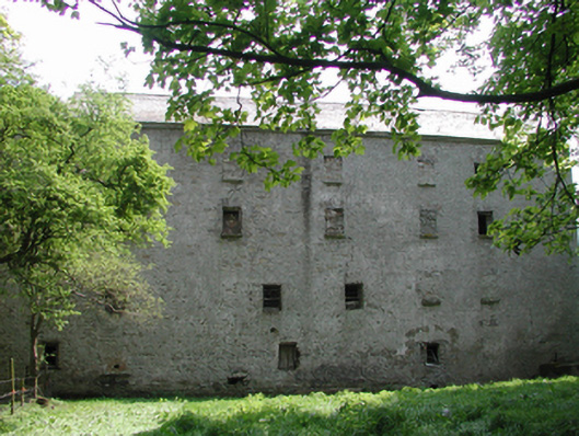 Ballyonan Millmill (water) · 1327 yd
 Field system in Anneville or Clonard OldField system · 1.1 mi
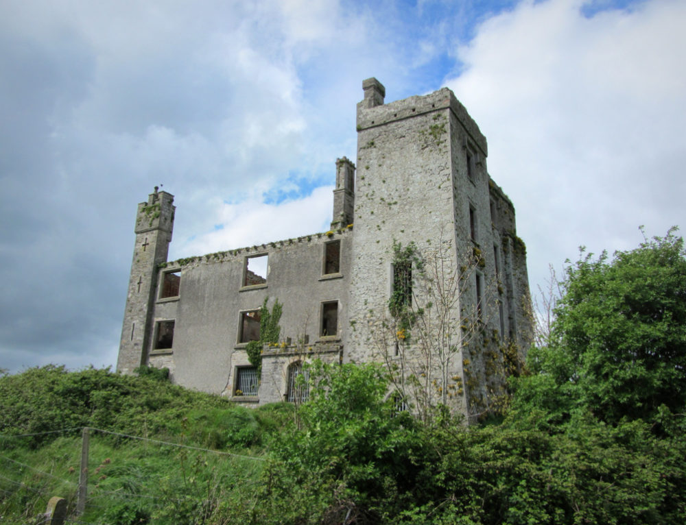 CastleCastle, ringwork · 1.2 mi
 Queen Marys CastleCastle, tower house · 1.5 mi
 Abandoned Kinnegad CanalWood · 2.2 mi
 Rahin WoodsForest · 2.7 mi
 The Grill ShackHeritage attraction · 10 mi
 Ash HillMountain / peak · 20 mi
 John McLaughlinMemorial · 20 mi