
What is recorded here
On a level floodplain along the E bank of the River Boyne. Visible on aerial photographs (CUCAP AOZ (1966); AYR 44 (1969)) as a large, rectangular area (est. max. dims. L c. 250m NW-SE; Wth c. 150m) defined, and subdivided internally, by fairly substantial earthen banks. Bulldozed in the 1970's and no surface trace was visible in 1985 (SMR file). A possible moated site (KD001-003----) lay c. 300m to the SSW, but the site is more likely to have been associated with Rathmurry House c. 400m to the SSW.
Compiled by: Gearóid Conroy
Date of upload: 10 June 2011
A local fairy fort (ringfort/rath); wider significance not recorded.
The monument record does not grant public access. Check the route and ask the landowner before entering private land.
- What survives
- Recorded monument
Places near here
 Croppies' GraveMemorial · 604 yd
 Leinster Bridgebridge · 819 yd
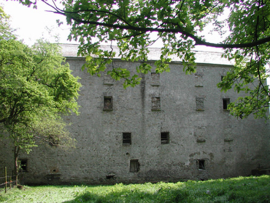 Ballyonan Millmill (water) · 1199 yd
 Field system in Anneville or Clonard OldField system · 1.0 mi
 Site of AbbeyChurch · 1.1 mi
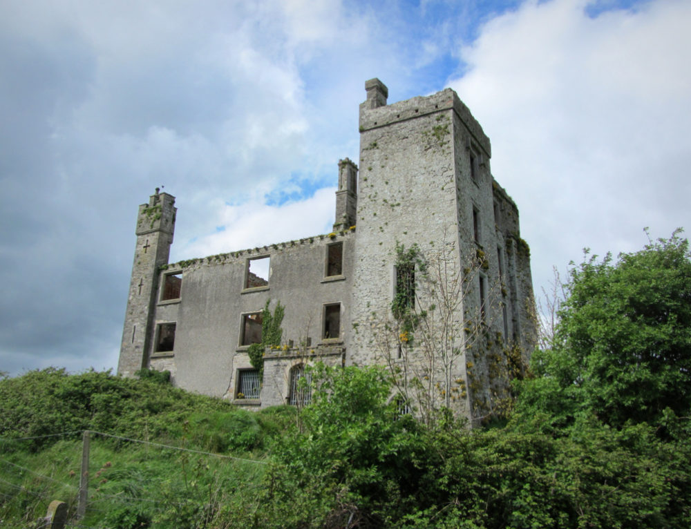 CastleCastle, ringwork · 1.1 mi
 Queen Marys CastleCastle, tower house · 1.5 mi
 Abandoned Kinnegad CanalWood · 2.1 mi
 Rahin WoodsForest · 2.8 mi
 The Grill ShackHeritage attraction · 10 mi
 Ash HillMountain / peak · 20 mi
 John McLaughlinMemorial · 20 mi
Other information
Photo: Credit not shown in the picture search · Rights wording not checked; contact us if this picture should be removed