What is recorded here
In reclaimed pasture, on W-facing slope. Roughly rectangular area (50m E-W; 51m N-S) enclosed by earthen bank (int. H 0.75m; ext. H 1.56m) with external fosse (D 0.5m; Wth 2.8m) on N and E sides; only faint trace of bank and fosse evident on S and W sides. Just beyond levelled bank on W side ground slopes down sharply into natural hollow. Recent farm trackway cuts across S end of enclosure on E-W axis. Level interior recently ploughed and sown with grass seeds.
Compiled by: Denis Power
Date of upload: 26 August 2011
The monument record does not grant public access. Check the route and ask the landowner before entering private land.
- What survives
- Recorded monument
Places near here
 Kilmurry Housecountry house · 607 yd
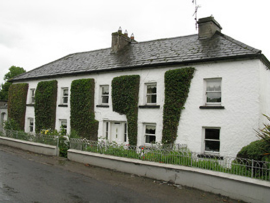 Feenagh Housefarm house, house · 1341 yd
 BarrowBarrow, ring-barrow · 1.7 mi
 Moated site in BallinruaneMoated site · 1.8 mi
 Our Lady's WellSpring · 2.5 mi
 Castle (in ruins)Castle, hall-house · 2.5 mi
 IndicatedCastle, motte · 2.5 mi
 ToberacappeenSpring · 2.9 mi
 National Co-op MuseumMuseum · 4.0 mi
 Battle of LiscarrollMajor battlefield · 9.2 mi
 Ballagh MountainMountain / peak · 9.5 mi
 Mullaghareirk - Banane LoopWalking route · 9.7 mi