What is recorded here
Killyfad,creeve holds a narrow oval ridge above wet pasture, bounded by a deep waterlogged ditch and a massive earth-and-stone bank. The place still feels made for exclusion: keep rain, root and unwanted footsteps outside, then leave the eastern gap open for the person who belongs. Scrub has since crept across the edges, softening the warning but not removing it.
On a prominent NW-SE ridge in otherwise wet, low-lying pasture. A raised approximately oval area (33.1m NNE-SSW; 32.4m WNW-ESE) defined by a scarp (H 1.1m), an intervening wide, deep, waterlogged fosse (Wth 4.8-5.9m; D 2m) and a massive bank of earth and stone (Wth 6.3m; H 2.1m). An entrance gap at E appears to be modern. The enclosing elements are overgrown with scrub.
Compiled by: Patrick F. O'Donovan
Date of upload: 3 May 2012
The monument record does not grant public access. Check the route and ask the landowner before entering private land.
- What survives
- Recorded monument
Places near here
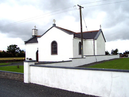 Saint Oliver Plunkett's Catholic Churchchurch/chapel · 427 yd
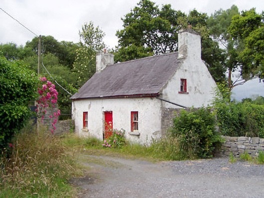 Carrigglas ManorOfficially recorded historic building · 618 yd
 Enclosure in CorradooeyEnclosure · 1.6 mi
 Enclosure in Cooleeny,whiterockEnclosure · 1.8 mi
 Bawn in LissardowlanBawn · 2.1 mi
 CastleCastle, motte · 2.1 mi
 Saint Mel's CathedralCathedral · 3.3 mi
 First World War MemorialMemorial · 3.5 mi
 Common LimeCommon Lime · 5.2 mi
 Graveyard in Curry (ardagh By., Coolamber Ed)Graveyard · 5.7 mi
 Granard MotteMotte-and-bailey castle remains · 9.2 mi
 1798 Monumentmonument · 9.3 mi