
What is recorded here
At the N end of a N-S ridge in wet marshy terrain with good views in all directions. In 1295 the castle of ‘Newtown’ was ‘razed by Sefraid O Fergail [O'Ferrall]' (Ann. Conn., 195). This roughly oval, flat-topped platform (c. 47m NNW-SSE; c. 16m ENE-WSW) may mark its location. It is defined by a scarp (H 2 4.5m) with a wide fosse (Wth 4m; D 1m) to the S which peters out to the E and W. No trace of the fosse is visible from W-N-E. No entrance feature is evident. On the 1837 ed. of the OS 6-inch map it is depicted as a large grove of trees. On the 1911 edition it is shown as a roughly subrectangular raised area with several trees on top of it, leading to some doubt about its antiquity. It may be a landscape feature associated with Newtownbond House, c. 650m to the SE.
Compiled by: Caimin O'Brien
Date of upload: 28 March 2012
The motte at Newtownbond was razed in 1295 by Sefraid O Fergail (O'Ferrall), indicating its strategic importance in the region during the late 13th century. It is remembered for its location on a prominent ridge and its mention in contemporary annals, reflecting the turbulent Anglo-Norman and Gaelic conflicts of the period.
The monument record does not grant public access. Check the route and ask the landowner before entering private land.
- What survives
- Recorded monument
Places near here
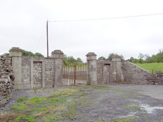 Newtownbond Housegates/railings/walls · 592 yd
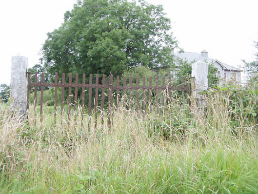 gates/railings/wallsgates/railings/walls · 1020 yd
 BarrowBarrow, unclassified · 1.1 mi
 Enclosure in LisnanaghEnclosure · 1.2 mi
 Moat & CastleCastle, motte and bailey · 1.5 mi
 Bawn in LissardowlanBawn · 1.6 mi
 Bully's Acregraveyard/cemetery, unknown · 3.7 mi
 Saint Mel's CathedralCathedral · 4.7 mi
 First World War MemorialMemorial · 4.8 mi
 National Famine WayWalking route · 5.8 mi
 Graveyard in Curry (ardagh By., Coolamber Ed)Graveyard · 6.3 mi
 Granard MotteMotte-and-bailey castle remains · 8.2 mi
Other information
Photo: Credit not shown in the picture search · Rights wording not checked; contact us if this picture should be removed