
What is recorded here
On a gentle SW-facing slope in pasture. Not marked on the 1837 ed. of the OS 6-inch map. A report in 1975 (SMR file) recorded that the outline of a levelled circular enclosure (diam. c. 28m) could be traced. The SE half of the monument has since been destroyed due to the construction of a NE-SW laneway and field boundary. No visible surface trace of the NW half survives; it has been planted with coniferous trees.
Compiled by: Patrick F. O'Donovan
Date of upload: 26 August 2011
A local fairy fort (ringfort/rath); wider significance not recorded.
The monument record does not grant public access. Check the route and ask the landowner before entering private land.
- What survives
- Recorded monument
Places near here
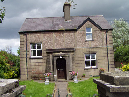 Saint Margaret'shouse · 847 yd
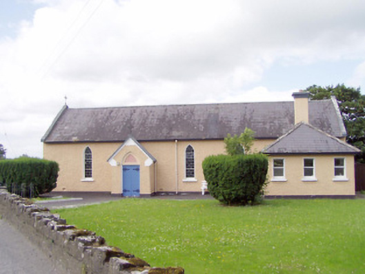 Saint Michael's Catholic Chapelchurch/chapel · 993 yd
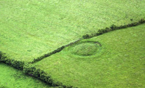 Fairy fort / earthen ringfort in ArdnacassaghFairy fort / earthen ringfort · 1547 yd
 BarrowBarrow, mound barrow · 1702 yd
 CastleCastle, Anglo-Norman masonry castle · 1.4 mi
 Bawn in LissardowlanBawn · 1.4 mi
 Saint Mel's CathedralCathedral · 2.0 mi
 First World War MemorialMemorial · 2.1 mi
 Graveyard in Curry (ardagh By., Coolamber Ed)Graveyard · 3.9 mi
 Pedunculate OakPedunculate Oak · 4.9 mi
 Common LimeCommon Lime · 4.9 mi
 Commons North WalkVisitor information · 11 mi
Other information
Photo: Credit not shown in the picture search · Rights wording not checked; contact us if this picture should be removed