What is recorded here
On a prominent NW-SE ridge in otherwise wet, low-lying pasture. A raised approximately oval area (33.1m NNE-SSW; 32.4m WNW-ESE) defined by a scarp (H 1.1m), an intervening wide, deep, waterlogged fosse (Wth 4.8-5.9m; D 2m) and a massive bank of earth and stone (Wth 6.3m; H 2.1m). An entrance gap at E appears to be modern. The enclosing elements are overgrown with scrub.
Compiled by: Patrick F. O'Donovan
Date of upload: 3 May 2012
The monument record does not grant public access. Check the route and ask the landowner before entering private land.
- What survives
- Recorded monument
Places near here
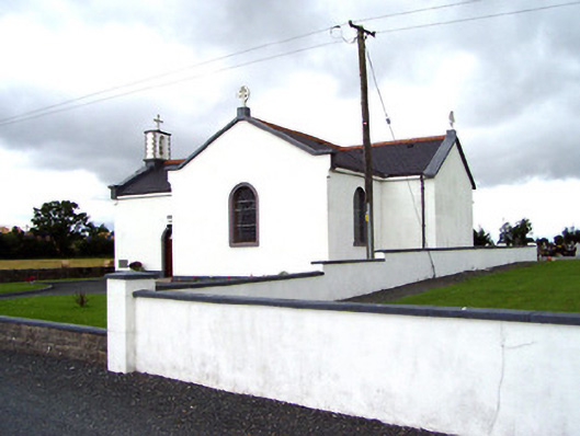 Saint Oliver Plunkett's Catholic Churchchurch/chapel · 427 yd
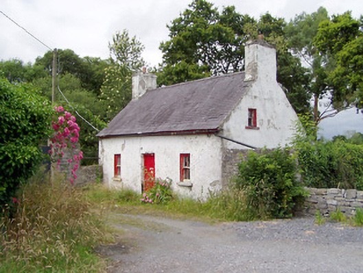 Carrigglas ManorOfficially recorded historic building · 618 yd
 Enclosure in CorradooeyEnclosure · 1.6 mi
 Enclosure in Cooleeny,whiterockEnclosure · 1.8 mi
 Bawn in LissardowlanBawn · 2.1 mi
 CastleCastle, motte · 2.1 mi
 Saint Mel's CathedralCathedral · 3.3 mi
 First World War MemorialMemorial · 3.5 mi
 Common LimeCommon Lime · 5.2 mi
 Graveyard in Curry (ardagh By., Coolamber Ed)Graveyard · 5.7 mi
 Granard MotteMotte-and-bailey castle remains · 9.2 mi
 1798 Monumentmonument · 9.3 mi